Fichier:Žilina Region demis background map.png
Taille de cet aperçu : 778 × 600 pixels. Autres résolutions : 312 × 240 pixels | 623 × 480 pixels | 996 × 768 pixels | 1 280 × 987 pixels | 1 357 × 1 046 pixels.
Fichier d’origine (1 357 × 1 046 pixels, taille du fichier : 1,18 Mio, type MIME : image/png)
Ce fichier et sa description proviennent de Wikimedia Commons.
Description
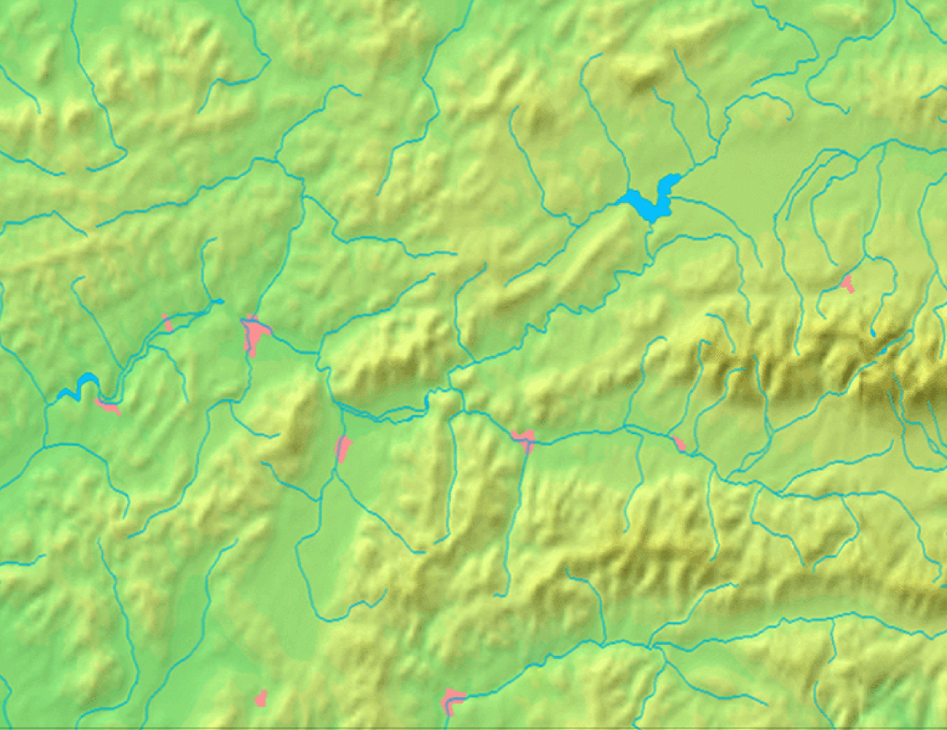
| Description | Background map of the Žilina Region, Slovakia, the same boundaries as Image:Žilina Region with districts map.svg | ||||
| Date | |||||
| Source | Made my myself from free maps available at www.demis.nl | ||||
| Auteur | Caroig | ||||
| Autorisation (Réutilisation de ce fichier) |
|
Historique du fichier
Cliquer sur une date et heure pour voir le fichier tel qu'il était à ce moment-là.
| Date et heure | Vignette | Dimensions | Utilisateur | Commentaire | |
|---|---|---|---|---|---|
| actuel | 3 septembre 2007 à 10:40 | | 1 357 × 1 046 (1,18 Mio) | Caroig | == Summary == {{Information |Description=Background map of the Žilina Region, Slovakia, the same boundaries as Image:Žilina Region with districts map.png |SourceMade my myself from free maps available at www.demis.nl |Date=2007-09-03 |Author=[[:en: |
Utilisation du fichier
Aucune page n’utilise ce fichier.