Fichier:125.39255E 38.73470N Port of Nampho.png

Taille de cet aperçu : 800 × 543 pixels. Autres résolutions : 320 × 217 pixels | 640 × 435 pixels | 1 022 × 694 pixels.
Fichier d’origine (1 022 × 694 pixels, taille du fichier : 1,28 Mio, type MIME : image/png)
Ce fichier et sa description proviennent de Wikimedia Commons.
| Description |
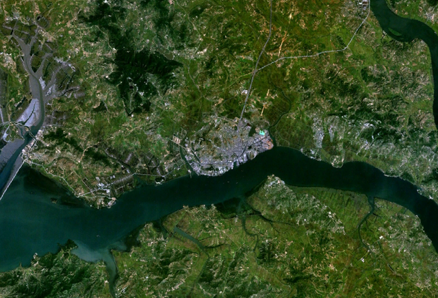
English: Satellite shot showing the port of Nampho, North Korea (the gray mass near the center of the image), from an altitude of 17.5 km. |
|||
| Date | date of dataset | |||
| Source | Created with NASA WorldWind by User:Oaktree_b using Landsat 7 (Visible Color) satellite image. | |||
| Auteur | NASA | |||
| Autorisation (Réutilisation de ce fichier) |
|

| Position de l'objet | | Voir cet endroit et d’autres images sur : OpenStreetMap |
|---|
Historique du fichier
Cliquer sur une date et heure pour voir le fichier tel qu'il était à ce moment-là.
| Date et heure | Vignette | Dimensions | Utilisateur | Commentaire | |
|---|---|---|---|---|---|
| actuel | 25 juillet 2011 à 04:55 | | 1 022 × 694 (1,28 Mio) | Oaktree b | {{Information |Description ={{en|1=Satellite shot showing the port of Nampho, North Korea (the gray mass near the center of the image), from an altitude of 17.5 km. }} |Source =Created with NASA WorldWind by User:Oaktree_b using Landsat 7 ( |
Utilisation du fichier
La page suivante utilise ce fichier :
Usage global du fichier
Les autres wikis suivants utilisent ce fichier :
- Utilisation sur ca.wikipedia.org
- Utilisation sur es.wikipedia.org
- Utilisation sur mn.wikipedia.org
- Utilisation sur th.wikipedia.org
- Utilisation sur tl.wikipedia.org
- Utilisation sur tr.wikipedia.org
- Utilisation sur vi.wikipedia.org
- Utilisation sur zh.wikipedia.org