Fichier:15th century map of Turkey region.jpg
Taille de cet aperçu : 800 × 600 pixels. Autres résolutions : 320 × 240 pixels | 640 × 480 pixels | 1 024 × 768 pixels | 1 280 × 960 pixels | 2 048 × 1 536 pixels.
Fichier d’origine (2 048 × 1 536 pixels, taille du fichier : 884 kio, type MIME : image/jpeg)
Ce fichier et sa description proviennent de Wikimedia Commons.
| Description |
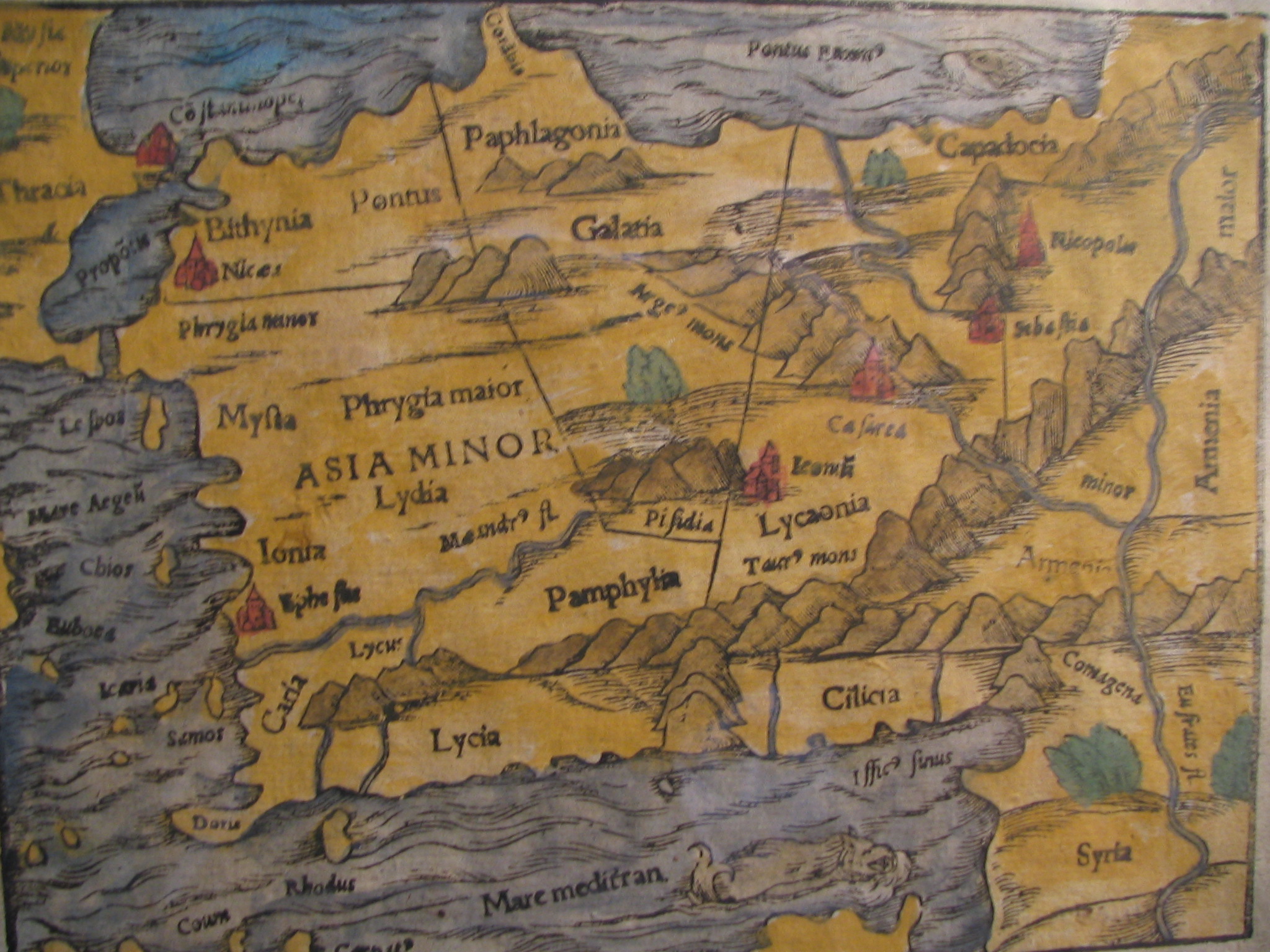
English: Picture of a map of the region of what is now Turkey from the 15th Century. I own this map, having purchased it, and have all official documentation regarding its authenticity. |
||||
| Date | XVe siècle, Digitized on: 10 décembre 2006, 19:42:23 | ||||
| Source |
|
||||
| Auteur | Auteur inconnu, Photographer: Electionworld | ||||
| Autorisation (Réutilisation de ce fichier) |
Ce fichier est disponible selon les termes de la licence Creative Commons Attribution – Partage dans les Mêmes Conditions 2.5 Générique
|
||||

Historique du fichier
Cliquer sur une date et heure pour voir le fichier tel qu'il était à ce moment-là.
| Date et heure | Vignette | Dimensions | Utilisateur | Commentaire | |
|---|---|---|---|---|---|
| actuel | 21 février 2018 à 16:04 | | 2 048 × 1 536 (884 kio) | Ket | Reverted to version as of 09:40, 17 December 2006 (UTC) |
| 21 février 2018 à 16:03 |  | 2 048 × 1 536 (921 kio) | Ket | better contrast | |
| 17 décembre 2006 à 11:40 |  | 2 048 × 1 536 (884 kio) | Electionworld | {{ew|en|Rarelibra}} == Summary == Picture of a map of the region of what is now Turkey from the 15th Century. I own this map, having purchased it, and have all official documentation regarding its authenticity. == Licensing == {{cc-by-sa-2.5}} |
Utilisation du fichier
La page suivante utilise ce fichier :
Usage global du fichier
Les autres wikis suivants utilisent ce fichier :
- Utilisation sur ar.wikipedia.org
- Utilisation sur ast.wikipedia.org
- Utilisation sur bg.wikipedia.org
- Utilisation sur ca.wikipedia.org
- Utilisation sur cs.wikipedia.org
- Utilisation sur da.wikipedia.org
- Utilisation sur de.wikipedia.org
- Utilisation sur el.wikipedia.org
- Utilisation sur en.wikipedia.org
- Galatia
- Lydia
- Bithynia
- Pamphylia
- Paphlagonia
- Pisidia
- User:Mcasey666
- Seleucia (Pamphylia)
- Lyrbe
- Morka
- Cibyra Minor
- Isba
- Orokenda
- Dicitanaura
- Corycus (Pamphylia)
- Olbia (Pamphylia)
- Tenedos (Pamphylia)
- Aunesis
- Ptolemais (Pamphylia)
- Manava (Pamphylia)
- Kalelibelen
- Sennea
- Kynosarion
- Rhoscopus
- Tetrapyrgia (Pamphylia)
- Limnae (Pamphylia)
- Andeda
- User:Mawer10/sandbox3
- Template:Pamphylia-geo-stub
- Utilisation sur eo.wikipedia.org
Voir davantage sur l’utilisation globale de ce fichier.