Fichier:1844 Map of Fort William and Esplanade.jpg
Pas de plus haute résolution disponible.
1844_Map_of_Fort_William_and_Esplanade.jpg (640 × 480 pixels, taille du fichier : 150 kio, type MIME : image/jpeg)
Ce fichier et sa description proviennent de Wikimedia Commons.
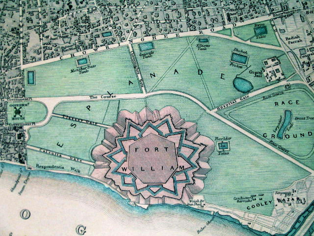
Description
| Description |
Fort William in its context, in an SDUK ("Society for the Diffusion of Useful Knowledge") map from 1844 |
|||||||||
| Date | ||||||||||
| Source | www.columbia.edu | |||||||||
| Créé par |
Society for the Diffusion of Useful Knowledge |
|||||||||
| Données géotemporelles | ||||||||||
| Rectangle englobant |
|
|||||||||
| Géoréférencement | ||||||||||
Conditions d’utilisation
|
Cette œuvre est également dans le domaine public dans tous les pays pour lesquels le droit d’auteur a une durée de vie de 70 ans ou moins après la mort de l’auteur. | |
| Ce fichier a été identifié comme étant exempt de restrictions connues liées au droit d’auteur, y compris tous les droits connexes et voisins. | |
Historique du fichier
Cliquer sur une date et heure pour voir le fichier tel qu'il était à ce moment-là.
| Date et heure | Vignette | Dimensions | Utilisateur | Commentaire | |
|---|---|---|---|---|---|
| actuel | 9 février 2011 à 20:14 | | 640 × 480 (150 kio) | Quibik | Color balance and contrast. |
| 5 février 2010 à 11:01 |  | 640 × 480 (115 kio) | Jayantanth | == Summary == {{Information |Description=Fort William in its context, in an SDUK ("Society for the Diffusion of Useful Knowledge") map from 1844 |Source=http://www.columbia.edu/itc/mealac/pritchett/00routesdata/1600_1699/calcutta/fortwilliam/fortwilliam.h |
Utilisation du fichier
La page suivante utilise ce fichier :
Usage global du fichier
Les autres wikis suivants utilisent ce fichier :
- Utilisation sur ar.wikipedia.org
- Utilisation sur bn.wikipedia.org
- Utilisation sur en.wikipedia.org
- Utilisation sur es.wikipedia.org
- Utilisation sur ja.wikipedia.org
- Utilisation sur kn.wikipedia.org
- Utilisation sur ml.wikipedia.org
- Utilisation sur no.wikipedia.org
- Utilisation sur sat.wikipedia.org
- Utilisation sur ta.wikipedia.org
- Utilisation sur zh.wikipedia.org