Fichier:1859 U.S. Coast Survey Map or Nautical Chart of the Florida Keys and Key West - Geographicus - FloridaKeyWest-uscs-1859.jpg
Taille de cet aperçu : 800 × 572 pixels. Autres résolutions : 320 × 229 pixels | 640 × 458 pixels | 1 024 × 733 pixels | 1 280 × 916 pixels | 2 560 × 1 832 pixels | 5 000 × 3 578 pixels.
Fichier d’origine (5 000 × 3 578 pixels, taille du fichier : 2,43 Mio, type MIME : image/jpeg)
Ce fichier et sa description proviennent de Wikimedia Commons.
{InteractiveViewer}}
| Preliminary Coast Chart No. 71 Florida Reefs From | ||||||
|---|---|---|---|---|---|---|
| Artiste | ||||||
| Titre |
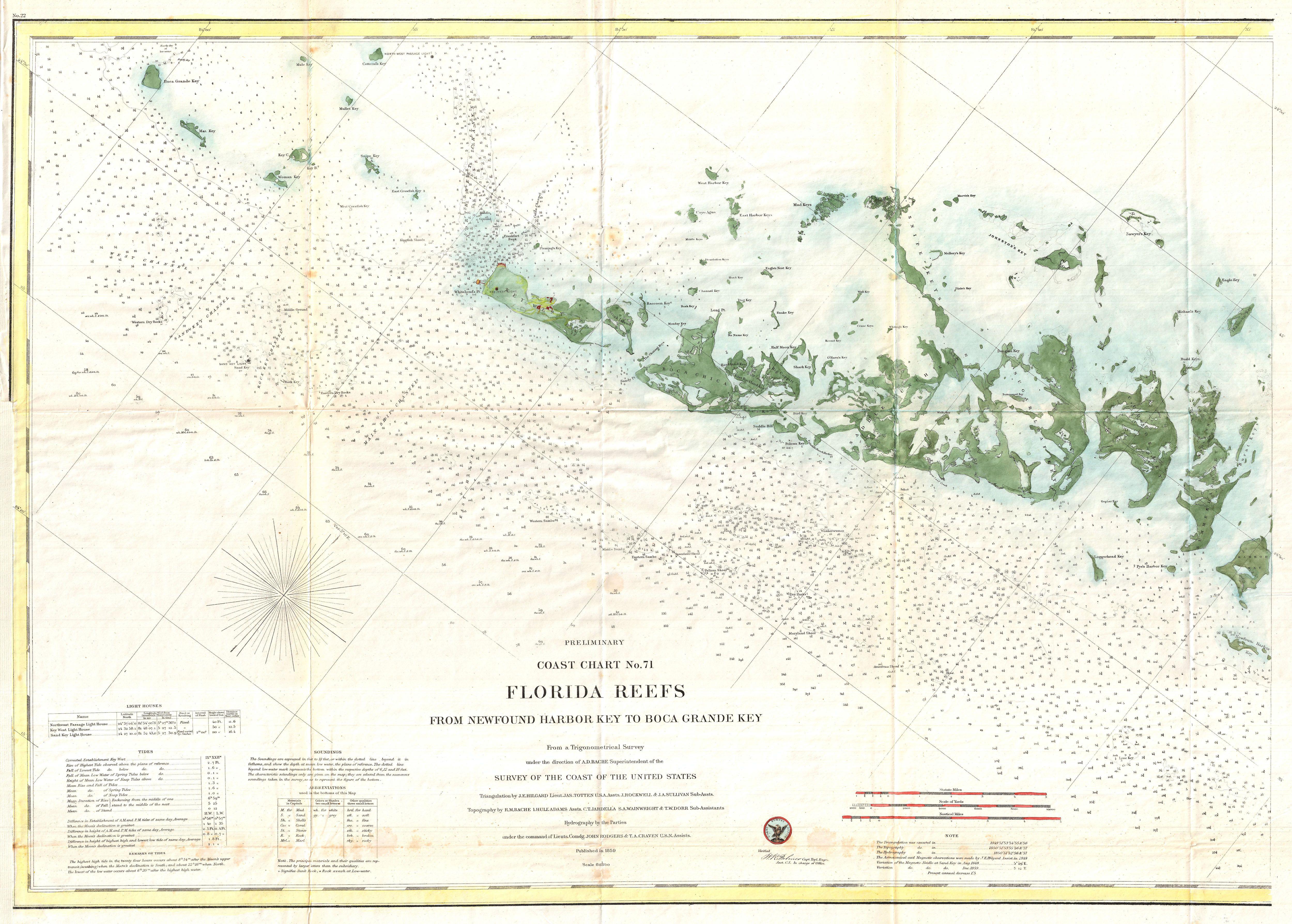
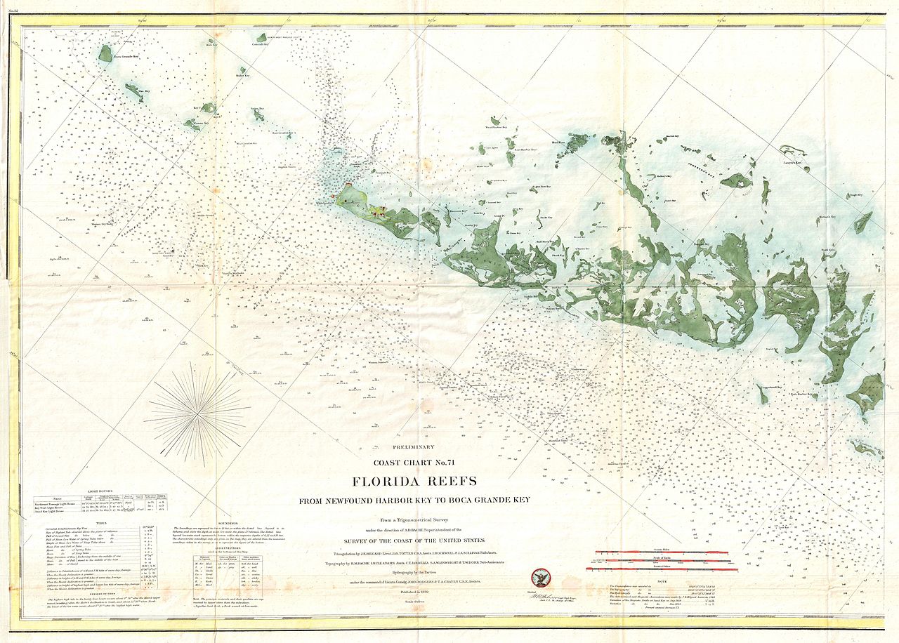
Preliminary Coast Chart No. 71 Florida Reefs From |
|||||
| Description |
English: A very attractive example of the rare 1859 U.S. Coast Survey Map the western Florida Keys. Centered on Key West, this map covers from Ramrod Key in the east to Boca Grande Key in the west. All of the Islands are named but only Key West shows any inland development. There are countless depth soundings throughout and various channels and shoals are noted. The triangulation for this chart was completed by J. E. Hilgard, Jas. Totten, J. Rockwell, and J. A. Sullivan. The topography is the work of R. M Bache, L. Hull Adams, C. T. Jardella, S. A. Wainwright, and T. W. Door. The hydrography was accomplished by John Rodgers and T. A. Craven. The whole was completed under the direction of A. D. Bache, one of the most influential and prolific Superintendents of the U.S. Coast Survey. Published in the 1859 edition of the Superintendent’s Report to congress. |
|||||
| Date | 1859 (dated) | |||||
| Dimensions | hauteur : 22,5 pouces (57,1 cm) ; largeur : 31,5 pouces (80 cm) | |||||
| Numéro d’inventaire |
liens Geographicus : FloridaKeyWest-uscs-1859 |
|||||
| Source / photographe |
Report of the Superintendent of the United States Coast Survey, (Washington D.C.) 1859.
|
|||||
| Autorisation (Réutilisation de ce fichier) |
|
|||||
Historique du fichier
Cliquer sur une date et heure pour voir le fichier tel qu'il était à ce moment-là.
| Date et heure | Vignette | Dimensions | Utilisateur | Commentaire | |
|---|---|---|---|---|---|
| actuel | 25 mars 2011 à 09:26 | | 5 000 × 3 578 (2,43 Mio) | BotMultichillT | {{subst:User:Multichill/Geographicus |link=http://www.geographicus.com/P/AntiqueMap/FloridaKeyWest-uscs-1859 |product_name=1859 U.S. Coast Survey Map or Nautical Chart of the Florida Keys and Key West |map_title=Preliminary Coast Chart No. 71 Florida Reef |
Utilisation du fichier
La page suivante utilise ce fichier :
Usage global du fichier
Les autres wikis suivants utilisent ce fichier :
- Utilisation sur en.wikipedia.org