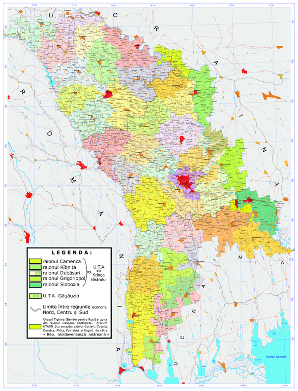
Fichier:AdministrativeMapOfMoldova.png

Taille de cet aperçu : 457 × 599 pixels. Autres résolutions : 183 × 240 pixels | 366 × 480 pixels | 586 × 768 pixels | 781 × 1 024 pixels | 1 562 × 2 048 pixels | 2 983 × 3 911 pixels.
Fichier d’origine (2 983 × 3 911 pixels, taille du fichier : 7,14 Mio, type MIME : image/png)
Ce fichier et sa description proviennent de Wikimedia Commons.
Description
Conditions d’utilisation
Moi, en tant que détenteur des droits d’auteur sur cette œuvre, je la publie sous la licence suivante :
Ce fichier est disponible selon les termes de la licence Creative Commons Attribution – Partage dans les Mêmes Conditions 3.0 (non transposée).
- Vous êtes libre :
- de partager – de copier, distribuer et transmettre cette œuvre
- d’adapter – de modifier cette œuvre
- Sous les conditions suivantes :
- paternité – Vous devez donner les informations appropriées concernant l'auteur, fournir un lien vers la licence et indiquer si des modifications ont été faites. Vous pouvez faire cela par tout moyen raisonnable, mais en aucune façon suggérant que l’auteur vous soutient ou approuve l’utilisation que vous en faites.
- partage à l’identique – Si vous modifiez, transformez, ou vous basez sur cette œuvre, vous devez distribuer votre contribution sous la même licence ou une licence compatible avec celle de l’original.
Historique du fichier
Cliquer sur une date et heure pour voir le fichier tel qu'il était à ce moment-là.
| Date et heure | Vignette | Dimensions | Utilisateur | Commentaire | |
|---|---|---|---|---|---|
| actuel | 19 septembre 2023 à 17:48 | | 2 983 × 3 911 (7,14 Mio) | Trecătorul răcit | Actualisation 2023 |
| 20 septembre 2016 à 15:51 |  | 3 000 × 3 791 (7 Mio) | Julieta39 | Correct area of Bender/Tighina "transnistrian" rule. | |
| 1 août 2015 à 22:01 |  | 3 000 × 3 791 (7,02 Mio) | Spiridon Ion Cepleanu | Contrast Ialoveni | |
| 31 mai 2015 à 22:36 |  | 3 000 × 3 791 (7,02 Mio) | Spiridon Ion Cepleanu | Legend | |
| 31 mai 2015 à 19:40 |  | 3 000 × 3 791 (7,73 Mio) | Spiridon Ion Cepleanu | More contrasted colours (raions of Transnistria) | |
| 9 janvier 2011 à 02:13 |  | 3 000 × 3 791 (7,77 Mio) | Magasjukur2 | reziced - smaller version | |
| 6 juin 2008 à 11:27 |  | 5 607 × 7 086 (12,5 Mio) | Serhio~commonswiki | {{Information |Description={{en|1=The Administrative Map of w:Moldova}} |Source=Moldova Maps |Author=Serhio |Date=2005 |Permission= |other_versions= }} {{ImageUpload|full}} Category:Moldova Category:Administrative maps |
Utilisation du fichier
La page suivante utilise ce fichier :
Usage global du fichier
Les autres wikis suivants utilisent ce fichier :
- Utilisation sur cs.wikipedia.org
- Utilisation sur en.wikipedia.org
- Utilisation sur ro.wikipedia.org