Fichier:African map 1885.jpg
Fichier d’origine (1 400 × 1 738 pixels, taille du fichier : 793 kio, type MIME : image/jpeg)
Ce fichier et sa description proviennent de Wikimedia Commons.
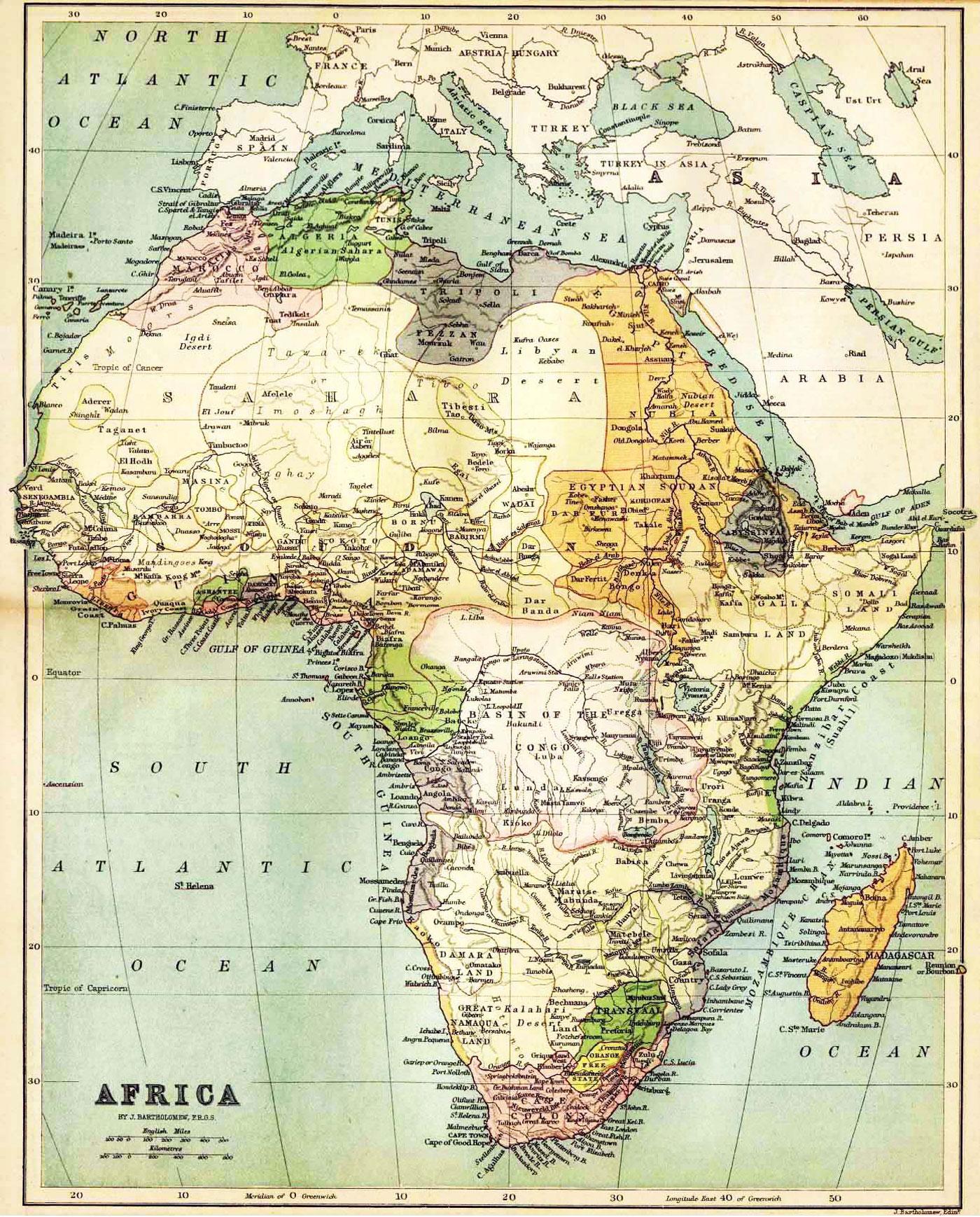
| Description | Historical map of Africa by J. Bartholomew, F.R.G.S. John Bartholomew (1831 – 1893), a Scottish cartographer, born in Edinburgh. The image shows a political map with the knowledge about Africa in the year 1885. | ||||
| Source | http://www.nationsonline.org/oneworld/map/africa-historical-map-1885.htm | ||||
| Auteur | J. Bartholomew | ||||
| Autorisation (Réutilisation de ce fichier) |
|
||||
| Autres versions |
 |
||||
Historique du fichier
Cliquer sur une date et heure pour voir le fichier tel qu'il était à ce moment-là.
| Date et heure | Vignette | Dimensions | Utilisateur | Commentaire | |
|---|---|---|---|---|---|
| actuel | 8 novembre 2009 à 02:43 | | 1 400 × 1 738 (793 kio) | Feydey | {{Information |Description=Historical map of Africa by J. Bartholomew, F.R.G.S. John Bartholomew (1831 – 1893), a Scottish cartographer, born in Edinburgh. The image shows a political map with the knowledge about Africa in the year 1885. |Source=http:// |
Utilisation du fichier
La page suivante utilise ce fichier :
Usage global du fichier
Les autres wikis suivants utilisent ce fichier :
- Utilisation sur en.wikipedia.org
- Utilisation sur es.wikipedia.org