Fichier:Blank map of Europe in 1920.svg

Taille de cet aperçu PNG pour ce fichier SVG : 689 × 600 pixels. Autres résolutions : 276 × 240 pixels | 552 × 480 pixels | 882 × 768 pixels | 1 177 × 1 024 pixels | 2 353 × 2 048 pixels | 841 × 732 pixels.
Fichier d’origine (Fichier SVG, nominalement de 841 × 732 pixels, taille : 541 kio)
Ce fichier et sa description proviennent de Wikimedia Commons.
| Description |
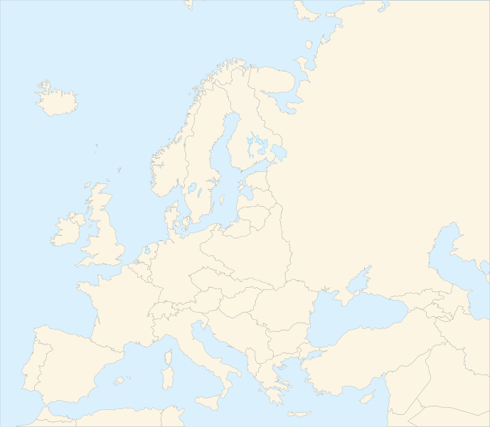
Français : Carte vierge de l'Europe en 1920, couleurs Atelier Graphique English: Blank map of Europe in 1920 with Atelier graphique colors |
| Date | (UTC) |
| Source | |
| Auteur |
|
| Autres versions |
Œuvres dérivées de ce fichier : |
| Cette image a été retouchée, ce qui signifie qu'elle a été modifiée par ordinateur et est différente de l'image d'origine. Liste des modifications : shifted borders to 1920. L'image d'origine se trouve ici : Blank map of Europe - Atelier graphique colors.svg:
|

Ce fichier est disponible selon les termes de la licence Creative Commons Attribution – Partage dans les Mêmes Conditions 3.0 (non transposée).
- Vous êtes libre :
- de partager – de copier, distribuer et transmettre cette œuvre
- d’adapter – de modifier cette œuvre
- Sous les conditions suivantes :
- paternité – Vous devez donner les informations appropriées concernant l'auteur, fournir un lien vers la licence et indiquer si des modifications ont été faites. Vous pouvez faire cela par tout moyen raisonnable, mais en aucune façon suggérant que l’auteur vous soutient ou approuve l’utilisation que vous en faites.
- partage à l’identique – Si vous modifiez, transformez, ou vous basez sur cette œuvre, vous devez distribuer votre contribution sous la même licence ou une licence compatible avec celle de l’original.

|
Ce fichier SVG contient du texte encapsulé pouvant facilement être traduit dans votre langue en utilisant n'importe quel éditeur de fichier SVG ou de texte, ou par l'outil de traduction de fichiers SVG. Pour plus d'informations, voir : A propos de la traduction des fichiers SVG. |
Journal des téléversements d’origine
This image is a derivative work of the following images:
- Image:Blank_map_of_Europe_-_Atelier_graphique_colors.svg licensed with Cc-by-sa-2.5,2.0,1.0, GFDL
- 2007-09-16T15:08:27Z Historicair 841x731 (495651 Bytes) '
- 2007-09-13T16:36:42Z Historicair 841x731 (495370 Bytes) {{Information |Description={{fr|Carte vierge de l'Europe, couleurs Atelier Graphique}} {{en|Blank map of Europe with Atelier graphique colors}} |Source=[[:Image:Europe countries.svg]] by [[User:Tintazul|Tintazul]] |Date=13/09
Téléversé avec derivativeFX
Historique du fichier
Cliquer sur une date et heure pour voir le fichier tel qu'il était à ce moment-là.
| Date et heure | Vignette | Dimensions | Utilisateur | Commentaire | |
|---|---|---|---|---|---|
| actuel | 20 août 2010 à 06:42 | | 841 × 732 (541 kio) | Editor at Large | Reverted to version as of 16:11, 23 June 2008 - error in file |
| 20 août 2010 à 03:30 |  | 689 × 600 (2 kio) | Maps & Lucy | Fixed serious error with Baltic Sea on the German border with it, fixed the border of Germany with Poland, fixed the border of Poland with the Russian SFSR, and corrected the assimulation of three southern Caucasus countries which had been assimulated int | |
| 23 juin 2008 à 18:11 |  | 841 × 732 (541 kio) | Themightyquill | ||
| 16 juin 2008 à 17:46 |  | 841 × 732 (534 kio) | Themightyquill | ||
| 16 juin 2008 à 17:27 |  | 841 × 732 (531 kio) | Themightyquill | ||
| 16 juin 2008 à 04:32 |  | 841 × 732 (562 kio) | Themightyquill | {{Information |Description={{fr|Carte vierge de l'Europe en 1920, couleurs Atelier Graphique}} {{en|Blank map of Europe in 1920 with Atelier graphique colors}} |Source=*Image:Blank_map_of_Europe_-_Atelier_graphique_colors.svg |Date=2008-06-16 02:31 |
Utilisation du fichier
La page suivante utilise ce fichier :
Usage global du fichier
Les autres wikis suivants utilisent ce fichier :
- Utilisation sur cs.wikipedia.org
- Utilisation sur en.wikipedia.org