Fichier:C71195s1 Ant.Map Mount Soza.jpg

Taille de cet aperçu : 712 × 600 pixels. Autres résolutions : 285 × 240 pixels | 570 × 480 pixels | 912 × 768 pixels | 1 215 × 1 024 pixels | 2 431 × 2 048 pixels | 3 864 × 3 256 pixels.
Fichier d’origine (3 864 × 3 256 pixels, taille du fichier : 1,69 Mio, type MIME : image/jpeg)
Ce fichier et sa description proviennent de Wikimedia Commons.
Description
| Description |
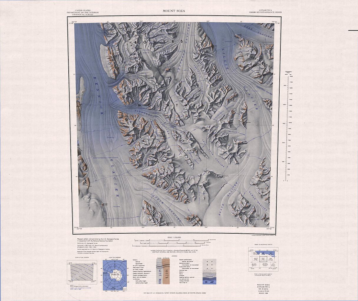
English: 1:250,000-scale topographic reconnaissance map of the Bowers Mountains area from 162°-165°E to 71°-72°S in Antarctica, including Mount Soza and Rennick and Lillie Glaciers. Mapped, edited and published by the U.S. Geological Survey in cooperation with the National Science Foundation. |
|||
| Date | ||||
| Source | http://usarc.usgs.gov/drg_dload.shtml | |||
| Auteur | United States Geological Survey | |||
| Autorisation (Réutilisation de ce fichier) |
|
Historique du fichier
Cliquer sur une date et heure pour voir le fichier tel qu'il était à ce moment-là.
| Date et heure | Vignette | Dimensions | Utilisateur | Commentaire | |
|---|---|---|---|---|---|
| actuel | 4 avril 2005 à 07:24 | | 3 864 × 3 256 (1,69 Mio) | Achim Raschka | Map of Antarctica by the United States Antarctic Ressource Center of the US Geological Society. {{PD-US}} Copyrights and Trademarks USGS-authored or produced data and information are in the public domain. While the content of most USGS web pages is in th |
Utilisation du fichier
La page suivante utilise ce fichier :
Usage global du fichier
Les autres wikis suivants utilisent ce fichier :
- Utilisation sur ca.wikipedia.org
- Utilisation sur ceb.wikipedia.org
- Utilisation sur de.wikipedia.org
- Utilisation sur en.wikipedia.org
- Everett Range
- Anare Mountains
- Lillie Glacier
- Bowers Mountains
- Concord Mountains
- Mirabito Range
- King Range (Antarctica)
- West Quartzite Range
- Explorers Range
- Alamein Range
- Rennick Glacier
- Freyberg Mountains
- Posey Range
- East Quartzite Range
- Molar Massif
- Salamander Range
- Lanterman Range
- Crown Hills (Antarctica)
- Mount Stirling (Antarctica)
- Utilisation sur he.wikipedia.org
- Utilisation sur hu.wikipedia.org
- Utilisation sur it.wikipedia.org
- Ghiacciaio Rennick
- Ghiacciaio Carryer
- Ghiacciaio Alt
- Ghiacciaio Morley
- Ghiacciaio Hunter
- Ghiacciaio Linder
- Ghiacciaio Orr
- Ghiacciaio Hoshko
- Ghiacciaio Canham
- Ghiacciaio Sledgers
- Ghiacciaio MacKinnon
- Nevaio Edlin
- Ghiacciaio Lillie
- Ghiacciaio Black
- Ghiacciaio Rawle
- Ghiacciaio McCann
- Ghiacciaio Champness
- Monte Soza
Voir davantage sur l’utilisation globale de ce fichier.