Fichier:C77198s1 Ant.Map Taylor Glacier.jpg

Taille de cet aperçu : 795 × 600 pixels. Autres résolutions : 318 × 240 pixels | 637 × 480 pixels | 1 018 × 768 pixels | 1 280 × 965 pixels | 2 560 × 1 931 pixels | 4 312 × 3 252 pixels.
Fichier d’origine (4 312 × 3 252 pixels, taille du fichier : 1,45 Mio, type MIME : image/jpeg)
Ce fichier et sa description proviennent de Wikimedia Commons.
Description
| Description |
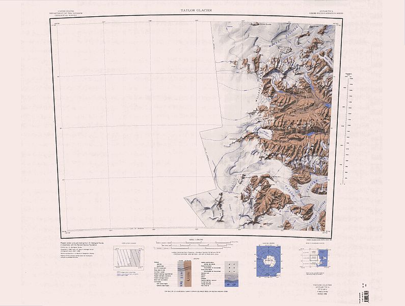
English: 1:250,000-scale topographic reconnaissance map of the Taylor Glacier area from 156°-162'E to 77°-78°S in Antarctica. Mapped, edited and published by the U.S. Geological Survey in cooperation with the National Science Foundation. |
|||
| Date | ||||
| Source | http://usarc.usgs.gov/drg_dload.shtml | |||
| Auteur | United States Geological Survey | |||
| Autorisation (Réutilisation de ce fichier) |
|
| Annotations | Cette image est annotée : Voir les annotations sur Wikimedia Commons |
Historique du fichier
Cliquer sur une date et heure pour voir le fichier tel qu'il était à ce moment-là.
| Date et heure | Vignette | Dimensions | Utilisateur | Commentaire | |
|---|---|---|---|---|---|
| actuel | 17 avril 2013 à 15:30 | | 4 312 × 3 252 (1,45 Mio) | 4ing | == {{int:filedesc}} == {{Information |description={{en|1=1:250,000-scale topographic reconnaissance map of the Taylor Glacier area from 156°-162'E to 77°-78°S in Antarctica. Mapped, edited and published by the U.S. Geological Survey in cooperation w... |
Utilisation du fichier
Les 2 pages suivantes utilisent ce fichier :
Usage global du fichier
Les autres wikis suivants utilisent ce fichier :
- Utilisation sur ceb.wikipedia.org
- Utilisation sur de.wikipedia.org
- Antarktische Trockentäler
- Mackay-Gletscher
- Depot-Nunatak
- Clare Range
- Gondola Ridge
- Taylor-Gletscher (Viktorialand)
- Quartermain Mountains
- Mount Handsley
- Beacon Heights
- Pyramid Mountain (Viktorialand)
- Turnabout Valley
- Willett Range
- Balham Valley
- Insel Range
- Apocalypse Peaks
- McKelvey Valley
- Barwick Valley
- Northwest Mountain
- Beehive Mountain
- The Fortress (Antarktika)
- Lashly Mountains
- West Beacon
- Mount DeWitt
- Bullseye Lake
- Canoe-Nunatak
- Pegtop Mountain
- Head Mountains
- Utilisation sur en.wikipedia.org
Voir davantage sur l’utilisation globale de ce fichier.