Fichier:Captain John Smith Statue, Historic Jamestowne, Colonial National Historical Park, Jamestown, Virginia (14239039490).jpg

Fichier d’origine (4 000 × 3 000 pixels, taille du fichier : 4,63 Mio, type MIME : image/jpeg)
Ce fichier et sa description proviennent de Wikimedia Commons.
.jpg?uselang=fr)
Description
| Description |
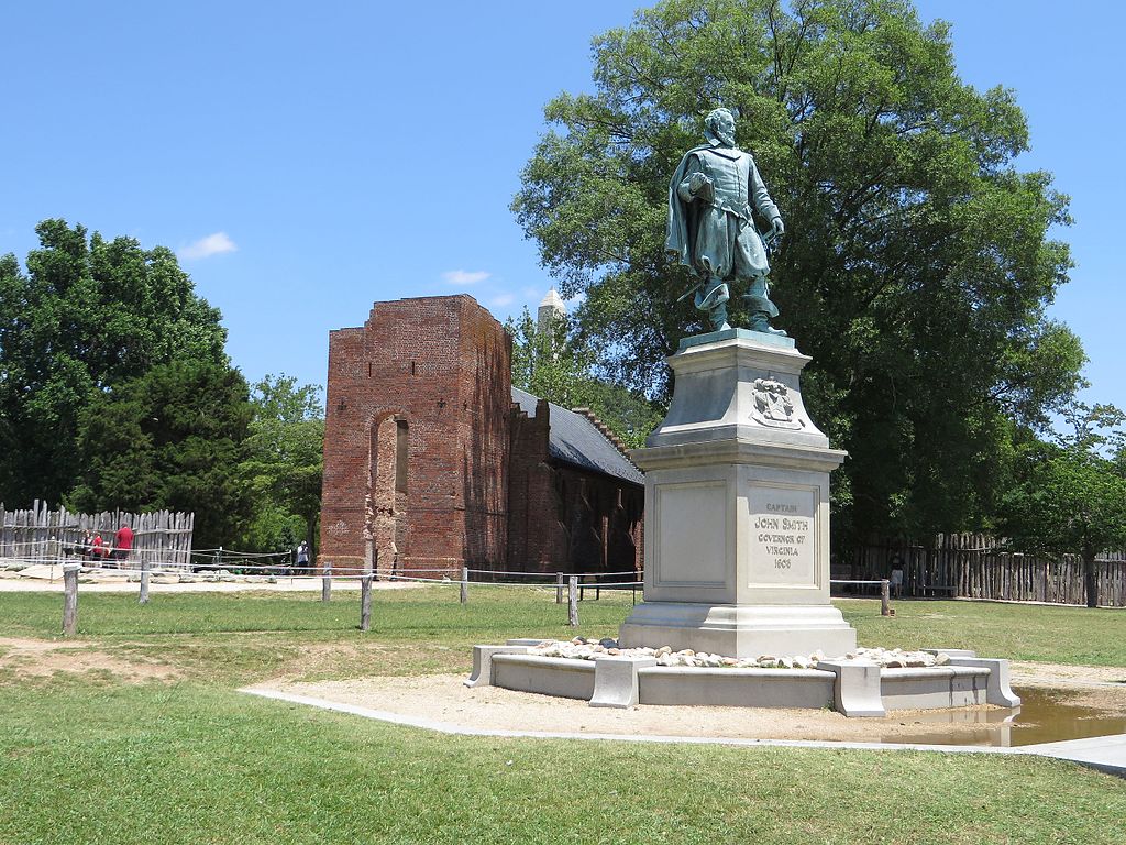
John Smith (c. January 1580 – 21 June 1631) Admiral of New England was an English soldier, explorer, and author. He was knighted for his services to Sigismund Bathory, Prince of Transylvania and his friend Mózes Székely. He was considered to have played an important part in the establishment of the first permanent English settlement in North America. He was a leader of the Virginia Colony (based at Jamestown) between September 1608 and August 1609, and led an exploration along the rivers of Virginia and the Chesapeake Bay. He was the first English explorer to map the Chesapeake Bay area and New England. Smith's books and maps are considered extremely important in encouraging and supporting English colonisation of the New World. He gave the name New England to the region and noted: "Here every man may be master and owner of his owne labour and land... If he have nothing but his hands, he may...by industrie quickly grow rich." When Jamestown was England's first permanent settlement in the New World, Smith trained the settlers to farm and work, thus saving the colony from early devastation. He publicly stated "he who shall not work, shall not eat". This strength of character and determination overcame problems presented from the hostile native Americans, the wilderness and the troublesome and uncooperative English settlers. Harsh weather, lack of water, living in a swampy wilderness, English unwillingness to work, and attacks from the Powhatan nation almost destroyed the colony. en.wikipedia.org/wiki/John_Smith_(explorer) en.wikipedia.org/wiki/Wikipedia:Text_of_Creative_Commons_... |
| Date | |
| Source | Captain John Smith Statue, Historic Jamestowne, Colonial National Historical Park, Jamestown, Virginia |
| Auteur | Ken Lund from Reno, Nevada, USA |
| Lieu de la prise de vue | | Voir cet endroit et d’autres images sur : OpenStreetMap |
|---|
.jpg¶ms=037.208275_N_-076.778989_E_globe:Earth_type:camera_source:Flickr_&language=fr)
Conditions d’utilisation
- Vous êtes libre :
- de partager – de copier, distribuer et transmettre cette œuvre
- d’adapter – de modifier cette œuvre
- Sous les conditions suivantes :
- paternité – Vous devez donner les informations appropriées concernant l'auteur, fournir un lien vers la licence et indiquer si des modifications ont été faites. Vous pouvez faire cela par tout moyen raisonnable, mais en aucune façon suggérant que l’auteur vous soutient ou approuve l’utilisation que vous en faites.
- partage à l’identique – Si vous modifiez, transformez, ou vous basez sur cette œuvre, vous devez distribuer votre contribution sous la même licence ou une licence compatible avec celle de l’original.
| Cette image a été originellement postée sur Flickr par Ken Lund à l'adresse https://flickr.com/photos/75683070@N00/14239039490. Elle a été passée en revue le 3 novembre 2016 par le robot FlickreviewR, qui a confirmé qu'elle se trouvait sous licence cc-by-sa-2.0. |
Historique du fichier
Cliquer sur une date et heure pour voir le fichier tel qu'il était à ce moment-là.
| Date et heure | Vignette | Dimensions | Utilisateur | Commentaire | |
|---|---|---|---|---|---|
| actuel | 3 novembre 2016 à 18:24 | | 4 000 × 3 000 (4,63 Mio) | Ser Amantio di Nicolao | Transferred from Flickr via Flickr2Commons |
Utilisation du fichier
La page suivante utilise ce fichier :
Usage global du fichier
Les autres wikis suivants utilisent ce fichier :
- Utilisation sur ar.wikipedia.org
- Utilisation sur arz.wikipedia.org
- Utilisation sur az.wikipedia.org
- Utilisation sur ca.wikipedia.org
- Utilisation sur ce.wikipedia.org
- Utilisation sur cy.wikipedia.org
- Utilisation sur da.wikipedia.org
- Utilisation sur en.wikipedia.org
- Utilisation sur eo.wikipedia.org
- Utilisation sur eu.wikipedia.org
- Utilisation sur he.wikipedia.org
- Utilisation sur pl.wikipedia.org
- Utilisation sur ru.wikipedia.org
- Utilisation sur tt.wikipedia.org
- Utilisation sur uz.wikipedia.org
- Utilisation sur www.wikidata.org
.jpg)