Fichier:Costa Rica cantons.png

Taille de cet aperçu : 776 × 600 pixels. Autres résolutions : 311 × 240 pixels | 621 × 480 pixels | 994 × 768 pixels | 1 280 × 989 pixels | 2 112 × 1 632 pixels.
Fichier d’origine (2 112 × 1 632 pixels, taille du fichier : 65 kio, type MIME : image/png)
Ce fichier et sa description proviennent de Wikimedia Commons.
Description
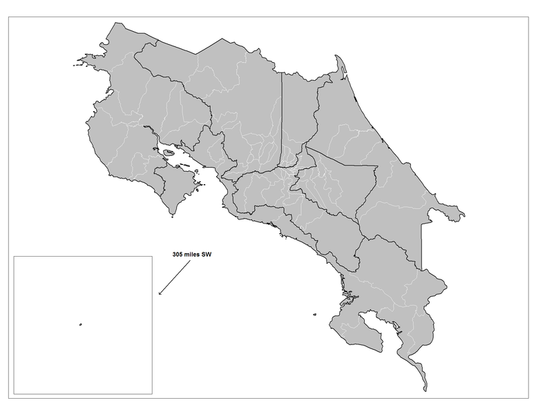
| Description | Map of the cantons of Costa Rica. Created by Rarelibra 20:34, 10 April 2007 (UTC) for public domain use, using MapInfo Professional v8.5 and various mapping resources. |
| Date | 10 avril 2007 (date de téléversement originale) |
| Source | La source n’a pas pu être reconnue automatiquement. « Travail personnel » supposé (étant donné la revendication de droit d’auteur). |
| Auteur | L’auteur n’a pas pu être identifié automatiquement. Il est supposé qu'il s'agit de : Rarelibra (étant donné la revendication de droit d’auteur). |
Conditions d’utilisation
| Moi, propriétaire des droits d’auteur sur cette œuvre, la place dans le domaine public. Ceci s'applique dans le monde entier. Dans certains pays, ceci peut ne pas être possible ; dans ce cas : J’accorde à toute personne le droit d’utiliser cette œuvre dans n’importe quel but, sans aucune condition, sauf celles requises par la loi. |
Historique du fichier
Cliquer sur une date et heure pour voir le fichier tel qu'il était à ce moment-là.
| Date et heure | Vignette | Dimensions | Utilisateur | Commentaire | |
|---|---|---|---|---|---|
| actuel | 13 août 2008 à 23:46 | | 2 112 × 1 632 (65 kio) | Rarelibra | Map of the cantons (cantones) of Costa Rica. |
| 10 avril 2007 à 22:34 |  | 1 281 × 878 (22 kio) | Rarelibra | Map of the cantons of Costa Rica. Created by ~~~~ for public domain use, using MapInfo Professional v8.5 and various mapping resources. |
Utilisation du fichier
La page suivante utilise ce fichier :
Usage global du fichier
Les autres wikis suivants utilisent ce fichier :
- Utilisation sur be.wikipedia.org
- Utilisation sur da.wikipedia.org
- Utilisation sur el.wikipedia.org
- Utilisation sur it.wikipedia.org
- Utilisation sur ka.wikipedia.org
- Utilisation sur la.wikipedia.org
- Utilisation sur no.wikipedia.org
- Utilisation sur pt.wikipedia.org
- Utilisation sur simple.wikipedia.org
- Utilisation sur sv.wikipedia.org