Fichier:Cumbria UK relief location map.jpg
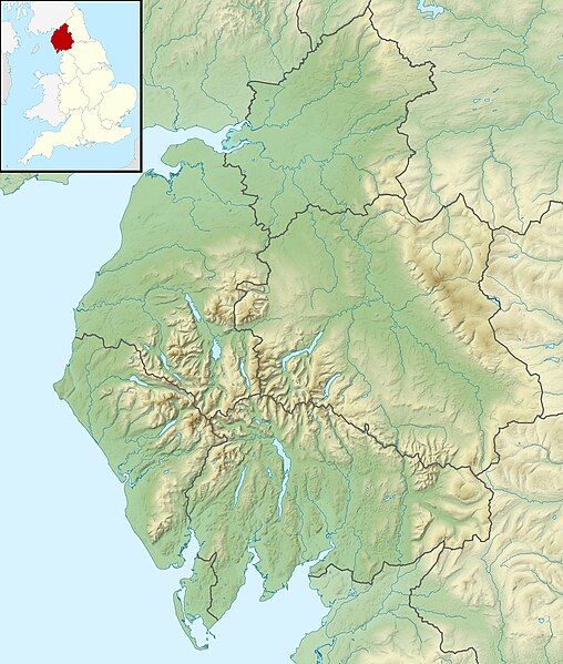
Taille de cet aperçu : 508 × 599 pixels. Autres résolutions : 203 × 240 pixels | 407 × 480 pixels | 651 × 768 pixels | 868 × 1 024 pixels | 2 003 × 2 363 pixels.
Fichier d’origine (2 003 × 2 363 pixels, taille du fichier : 700 kio, type MIME : image/jpeg)
Ce fichier et sa description proviennent de Wikimedia Commons.
| Description |
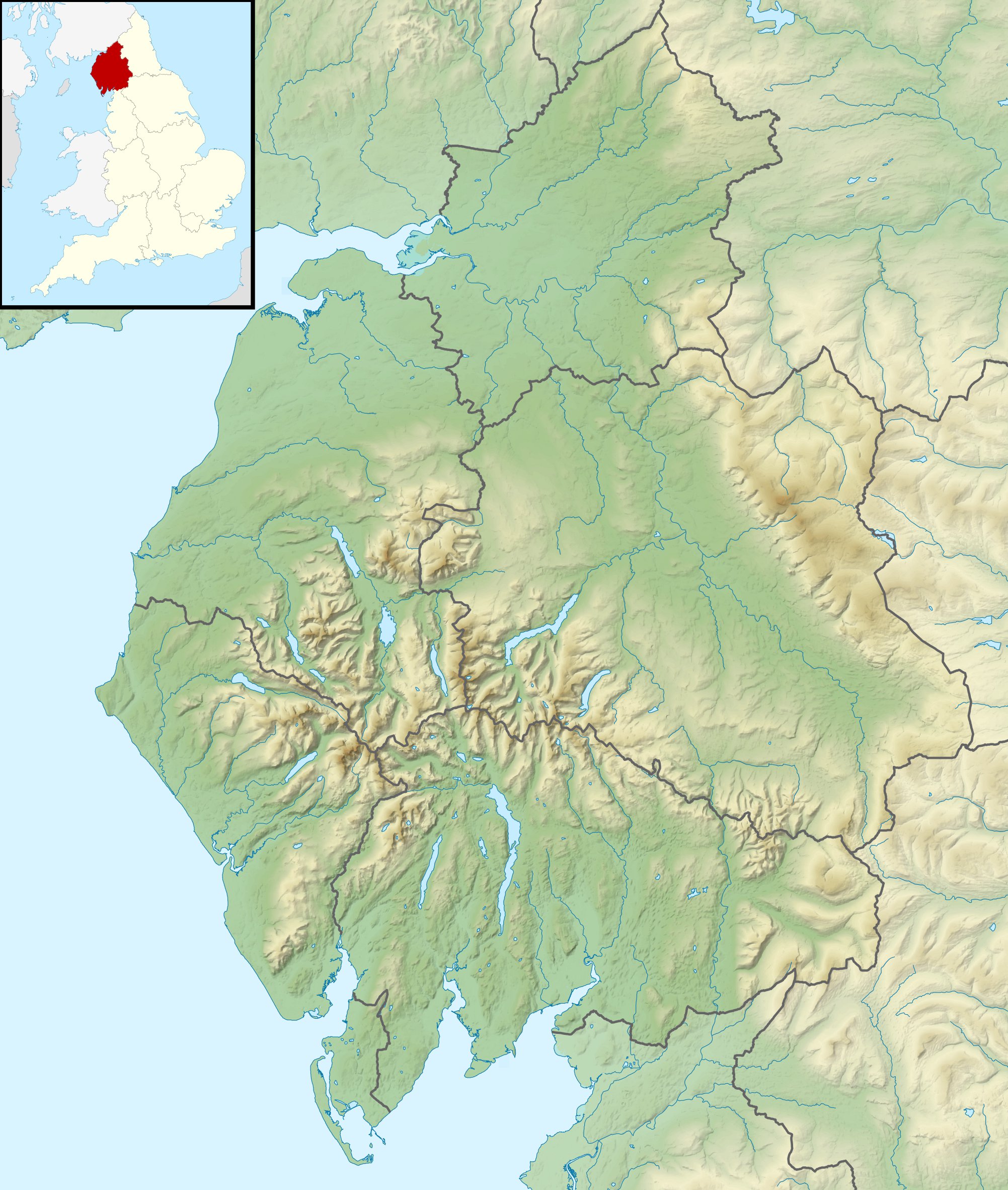
Relief map of Cumbria, UK. Equirectangular map projection on WGS 84 datum, with N/S stretched 170% Geographic limits:
|
| Date | |
| Source |
|
| Auteur | Nilfanion, created using Ordnance Survey data |
| Autorisation (Réutilisation de ce fichier) |
Ce fichier est disponible selon les termes de la licence Creative Commons Attribution – Partage dans les Mêmes Conditions 3.0 (non transposée). Attribution: Contains Ordnance Survey data © Crown copyright and database right
|
| Autres versions | File:Cumbria UK district map (blank).svg - Blank map |
.svg)
Historique du fichier
Cliquer sur une date et heure pour voir le fichier tel qu'il était à ce moment-là.
| Date et heure | Vignette | Dimensions | Utilisateur | Commentaire | |
|---|---|---|---|---|---|
| actuel | 29 novembre 2011 à 03:24 | | 2 003 × 2 363 (700 kio) | Nilfanion | {{Information |Description=Relief map of Cumbria, UK. Equirectangular map projection on WGS 84 datum, with N/S stretched 170% Geographic limits: *West: 3.80W *East: 2.10W *North: 55.20N *South: 54.02N |Source=[[w:Ordnance Survey|Ordnance S |
Utilisation du fichier
Les 24 pages suivantes utilisent ce fichier :
- Barrow (île)
- Centrale nucléaire de Calder Hall/Sellafield
- Col de Hardknott
- Coniston Water
- Cross Fell
- Derwentwater
- Ennerdale Water
- Esk Hause
- Helvellyn
- Lac Bassenthwaite
- Lake District
- Piel (île)
- Roa (île)
- Scafell
- Scafell Pike
- Sellafield
- Skiddaw
- Thirlmere
- Ullswater
- Walla Crag
- Wast Water
- Whernside
- Îles de Furness
- Modèle:Géolocalisation/Cumbria
Usage global du fichier
Les autres wikis suivants utilisent ce fichier :
- Utilisation sur ar.wikipedia.org
- Utilisation sur arz.wikipedia.org
- Utilisation sur bg.wikipedia.org
- Utilisation sur ca.wikipedia.org
- Utilisation sur ceb.wikipedia.org
- Utilisation sur en.wikipedia.org
- River Derwent, Cumbria
- Morecambe Bay
- Cross Fell
- River Leven, Cumbria
- River Esk (Ravenglass)
- River Cocker, Cumbria
- Firbank Fell
- Green Hill (Lancashire)
- Haweswater Beck
- River Mite
- Thurstonfield Lough
- River Greta, Cumbria
- Rusland Pool
- River Glenderamackin
- River Bela
- Peasey Beck
- Stainton Beck
- River Ellen
- Kershope Burn
- River Caldew
- River Petteril
- River Dee, Cumbria
- Clough River
- Solway Aviation Museum
- Black Fell (Pennines)
- Seathwaite Tarn
- Appleby Fells
- Murton Fell
- Moss Eccles Tarn
- Little Langdale
- Wikipedia talk:UK Wikipedians' notice board/Archive 15
- Killhope Cross
- Template:Infobox mountain pass/testcases
- Alcock Tarn
- Roe Beck
- Cam Beck
- Module:Location map/data/United Kingdom Cumbria
- Module:Location map/data/Cumbria
Voir davantage sur l’utilisation globale de ce fichier.