Fichier:Donetsk Oblast location map.svg

Taille de cet aperçu PNG pour ce fichier SVG : 440 × 599 pixels. Autres résolutions : 176 × 240 pixels | 352 × 480 pixels | 564 × 768 pixels | 752 × 1 024 pixels | 1 504 × 2 048 pixels | 489 × 666 pixels.
Fichier d’origine (Fichier SVG, nominalement de 489 × 666 pixels, taille : 141 kio)
Ce fichier et sa description proviennent de Wikimedia Commons.
Description
| Description |
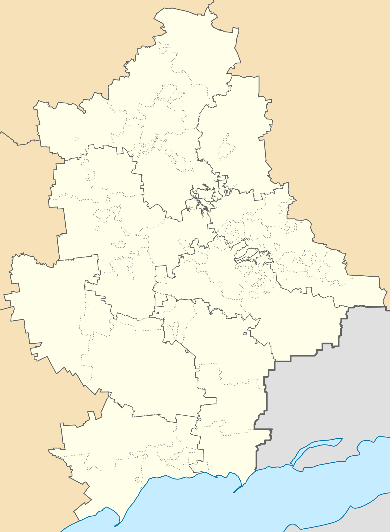
Русский: Районы Донецкой области Украины по Постановлению Верховной рады от 17 июля 2020 года на фоне старых административных границ районов и городов областного значения (горсоветов) и с отображением неподконтрольных украинским властям территорий непризнанной ДНР.
English: Districts of the Donetsk region of Ukraine according to the Decree of the Verkhovna Rada of July 17, 2020 against the background of the old administrative boundaries of districts and cities of regional significance (city councils) and displaying the territories of the unrecognized DPR that are not controlled by the Ukrainian authorities. |
| Date | |
| Source | Travail personnel |
| Auteur | RosssW |
| SVG information |
Conditions d’utilisation
Moi, en tant que détenteur des droits d’auteur sur cette œuvre, je la publie sous la licence suivante :
Ce fichier est sous la licence Creative Commons Attribution – Partage dans les Mêmes Conditions 4.0 International.
- Vous êtes libre :
- de partager – de copier, distribuer et transmettre cette œuvre
- d’adapter – de modifier cette œuvre
- Sous les conditions suivantes :
- paternité – Vous devez donner les informations appropriées concernant l'auteur, fournir un lien vers la licence et indiquer si des modifications ont été faites. Vous pouvez faire cela par tout moyen raisonnable, mais en aucune façon suggérant que l’auteur vous soutient ou approuve l’utilisation que vous en faites.
- partage à l’identique – Si vous modifiez, transformez, ou vous basez sur cette œuvre, vous devez distribuer votre contribution sous la même licence ou une licence compatible avec celle de l’original.
Historique du fichier
Cliquer sur une date et heure pour voir le fichier tel qu'il était à ce moment-là.
| Date et heure | Vignette | Dimensions | Utilisateur | Commentaire | |
|---|---|---|---|---|---|
| actuel | 6 mai 2024 à 06:33 | | 489 × 666 (141 kio) | Physeters | small changes |
| 3 mai 2024 à 06:52 |  | 489 × 666 (141 kio) | Physeters | thin out new raion borders & make them dark grey; make old raion borders a lighter grey and dashed | |
| 19 août 2023 à 03:40 |  | 489 × 666 (167 kio) | Physeters | small fix | |
| 18 juin 2023 à 16:35 |  | 489 × 666 (167 kio) | Yeagvr | The borders have changed, better delete them to consider this file as a location map of the de jure donetsk oblast | |
| 7 juin 2023 à 08:56 |  | 489 × 666 (193 kio) | Physeters | change the angle of the diagonal lines to better match the original | |
| 7 juin 2023 à 08:51 |  | 489 × 666 (193 kio) | Physeters | made grey bands transparent on higher detailed version | |
| 19 mai 2023 à 00:36 |  | 489 × 666 (96 kio) | Cherkash | Reverted to version as of 09:45, 25 August 2020 (UTC) this wasn’t a great improvement as gray bands now covered a lot of borderlines | |
| 22 février 2023 à 02:01 |  | 489 × 666 (191 kio) | Physeters | greatly improve the quality of the separatist controlled areas and post 2020 raion borders | |
| 25 août 2020 à 11:45 |  | 489 × 666 (96 kio) | RosssW | Uploaded own work with UploadWizard |
Utilisation du fichier
Les 9 pages suivantes utilisent ce fichier :
Usage global du fichier
Les autres wikis suivants utilisent ce fichier :
- Utilisation sur an.wikipedia.org
- Utilisation sur az.wikipedia.org
- Utilisation sur be.wikipedia.org
- Марыупаль
- Горліўка
- Аўдзііўка
- Амвросііўка
- Славянск
- Краматорск
- Вэлыка Навасілка
- Дэбальцэвэ
- Вуглэгірск
- Світладарск
- Пэтрыўка (Дабрапільскі раён)
- Ваздвыжэнка (Бахмуцкі раён)
- Свята-Пакроўскэ
- Бахмут
- Шаблон:На карце/Украіна Данецкая вобласць
- Лыман
- Якаўліўка (Ясынувацкі раён)
- Ясынувата
- Часіў Яр
- Шахтарск
- Дакучаеўск
- Краснагорыўка
- Білазэрскэ
- Білыцкэ
- Янакіевэ
- Сівэрск
- Сэлыдавэ
- Касцянтыніўка (Данецкая вобласць)
- Зугрэс
- Дабрапілля
- Святагірск
- Мырнаград
- Мар’інка
- Мыкалаіўка (Данецкая вобласць)
- Салэдар
- Пакроўск (Украіна)
- Курахавэ
- Моспынэ
- Залізнэ
- Гірнык (Данецкая вобласць)
- Бунгэ
- Кальміускэ
- Жданіўка
- Новаазоўск
- Родынскэ
Voir davantage sur l’utilisation globale de ce fichier.