Fichier:H1N1 Germany Map.svg

Taille de cet aperçu PNG pour ce fichier SVG : 443 × 599 pixels. Autres résolutions : 177 × 240 pixels | 355 × 480 pixels | 567 × 768 pixels | 757 × 1 024 pixels | 1 513 × 2 048 pixels | 592 × 801 pixels.
Fichier d’origine (Fichier SVG, nominalement de 592 × 801 pixels, taille : 108 kio)
Ce fichier et sa description proviennent de Wikimedia Commons.
Description
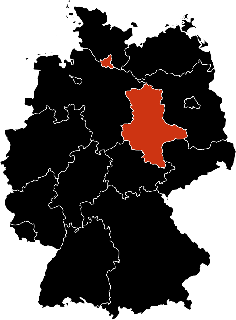
| Description | A map about the infected people in Germany with the H1N1 flu |
| Date | |
| Source | Travail personnel |
| Auteur | Allstrak |
Conditions d’utilisation
Moi, en tant que détenteur des droits d’auteur sur cette œuvre, je la publie sous les licences suivantes :
Ce fichier est disponible selon les termes de la licence Creative Commons Attribution – Partage dans les Mêmes Conditions 3.0 (non transposée).
- Vous êtes libre :
- de partager – de copier, distribuer et transmettre cette œuvre
- d’adapter – de modifier cette œuvre
- Sous les conditions suivantes :
- paternité – Vous devez donner les informations appropriées concernant l'auteur, fournir un lien vers la licence et indiquer si des modifications ont été faites. Vous pouvez faire cela par tout moyen raisonnable, mais en aucune façon suggérant que l’auteur vous soutient ou approuve l’utilisation que vous en faites.
- partage à l’identique – Si vous modifiez, transformez, ou vous basez sur cette œuvre, vous devez distribuer votre contribution sous la même licence ou une licence compatible avec celle de l’original.

|
Vous avez la permission de copier, distribuer et modifier ce document selon les termes de la GNU Free Documentation License version 1.2 ou toute version ultérieure publiée par la Free Software Foundation, sans sections inaltérables, sans texte de première page de couverture et sans texte de dernière page de couverture. Un exemplaire de la licence est inclus dans la section intitulée GNU Free Documentation License. |
Vous pouvez choisir l’une de ces licences.
Historique du fichier
Cliquer sur une date et heure pour voir le fichier tel qu'il était à ce moment-là.
| Date et heure | Vignette | Dimensions | Utilisateur | Commentaire | |
|---|---|---|---|---|---|
| actuel | 1 décembre 2009 à 15:43 | | 592 × 801 (108 kio) | Hariboneagle927 | update |
| 18 novembre 2009 à 17:21 |  | 522 × 729 (92 kio) | Hariboneagle927 | update | |
| 18 novembre 2009 à 17:14 |  | 522 × 729 (92 kio) | Hariboneagle927 | updated and remove the lake(that appears to be a state in the map) located at South of Germany | |
| 9 juillet 2009 à 05:37 |  | 522 × 729 (94 kio) | Fonadier | Updated map | |
| 27 avril 2009 à 19:50 |  | 522 × 729 (159 kio) | Allstrak | {{Information |Description=A map about the infected poeple in Germany with the H1N1 flu |Source=self-made |Date=27th April, 2009 |Author= Allstrak |Permission= |other_versions= }} Category:maps |
Utilisation du fichier
Les 2 pages suivantes utilisent ce fichier :
Usage global du fichier
Les autres wikis suivants utilisent ce fichier :
- Utilisation sur ar.wikipedia.org
- Utilisation sur de.wikipedia.org
- Utilisation sur en.wikipedia.org
- Utilisation sur fi.wikipedia.org