Fichier:Interstate Highway plan September 1955.jpg

Fichier d’origine (1 799 × 1 268 pixels, taille du fichier : 123 kio, type MIME : image/jpeg)
Ce fichier et sa description proviennent de Wikimedia Commons.
| Description | ||||
| Date | ||||
| Source |
|
|||
| Auteur | Public Roads Administration - Federal Works Agency (predecessor to the United States Department of Transportation). | |||
| Autorisation (Réutilisation de ce fichier) |
|


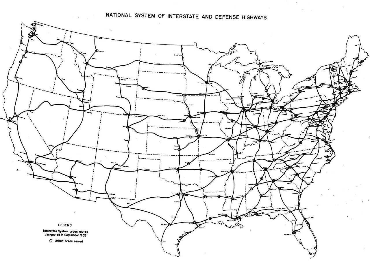
| Interstate Highway System planning maps | ||
|---|---|---|
| August 2, 1947 map 1 - map 2 |
September 1955 | August 14, 1957 |
Historique du fichier
Cliquer sur une date et heure pour voir le fichier tel qu'il était à ce moment-là.
| Date et heure | Vignette | Dimensions | Utilisateur | Commentaire | |
|---|---|---|---|---|---|
| actuel | 25 décembre 2005 à 07:54 | | 1 799 × 1 268 (123 kio) | SPUI~commonswiki | {{PD-USGov}} October 1957 map of the Interstate Highway System, from [http://www.kurumi.com/roads/3di/pics/map-isr-sep55.jpg]. Map 19571000 Category:road maps |
Utilisation du fichier
Les 2 pages suivantes utilisent ce fichier :
Usage global du fichier
Les autres wikis suivants utilisent ce fichier :
- Utilisation sur en.wikipedia.org
- Utilisation sur pl.wikipedia.org
- Utilisation sur pt.wikipedia.org
- Utilisation sur vi.wikipedia.org