Fichier:London River Services map.svg

Taille de cet aperçu PNG pour ce fichier SVG : 800 × 289 pixels. Autres résolutions : 320 × 116 pixels | 640 × 231 pixels | 1 024 × 370 pixels | 1 280 × 463 pixels | 2 560 × 925 pixels | 1 566 × 566 pixels.
Fichier d’origine (Fichier SVG, nominalement de 1 566 × 566 pixels, taille : 49 kio)
Ce fichier et sa description proviennent de Wikimedia Commons.
Description
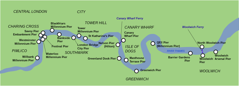
| Description | Outline map of the 21 Thames piers in London of the main fleet, London River Services, as at 2007. |
| Date | |
| Source | Travail personnel |
| Auteur | Cnbrb |
Conditions d’utilisation
Moi, en tant que détenteur des droits d’auteur sur cette œuvre, je la publie sous les licences suivantes :

|
Vous avez la permission de copier, distribuer et modifier ce document selon les termes de la GNU Free Documentation License version 1.2 ou toute version ultérieure publiée par la Free Software Foundation, sans sections inaltérables, sans texte de première page de couverture et sans texte de dernière page de couverture. Un exemplaire de la licence est inclus dans la section intitulée GNU Free Documentation License. |
Ce fichier est disponible selon les termes de la licence Creative Commons Attribution 3.0 Non transposée.
- Vous êtes libre :
- de partager – de copier, distribuer et transmettre cette œuvre
- d’adapter – de modifier cette œuvre
- Sous les conditions suivantes :
- paternité – Vous devez donner les informations appropriées concernant l'auteur, fournir un lien vers la licence et indiquer si des modifications ont été faites. Vous pouvez faire cela par tout moyen raisonnable, mais en aucune façon suggérant que l’auteur vous soutient ou approuve l’utilisation que vous en faites.
Vous pouvez choisir l’une de ces licences.
Historique du fichier
Cliquer sur une date et heure pour voir le fichier tel qu'il était à ce moment-là.
| Date et heure | Vignette | Dimensions | Utilisateur | Commentaire | |
|---|---|---|---|---|---|
| actuel | 28 septembre 2017 à 02:14 | 1 566 × 566 (49 kio) | Cnbrb | correct typo | |
| 13 novembre 2007 à 01:55 | 1 566 × 566 (49 kio) | Cnbrb | An outline map showing the piers on the River Thames, London, UK, under the London River Services | ||
| 12 novembre 2007 à 15:56 | 1 624 × 619 (40 kio) | Cnbrb | {{Information |Description=An outline map showing the piers on the River Thames, London, UK, under the London River Services |Source=self-made |Date=2007-11-12 |Author= Cnbrb |Permission= |other_versions= }} |
Utilisation du fichier
La page suivante utilise ce fichier :
Usage global du fichier
Les autres wikis suivants utilisent ce fichier :
- Utilisation sur ar.wikipedia.org
- Utilisation sur es.wikipedia.org
- Utilisation sur it.wikipedia.org
- Utilisation sur pl.wikipedia.org
- Utilisation sur sv.wikipedia.org