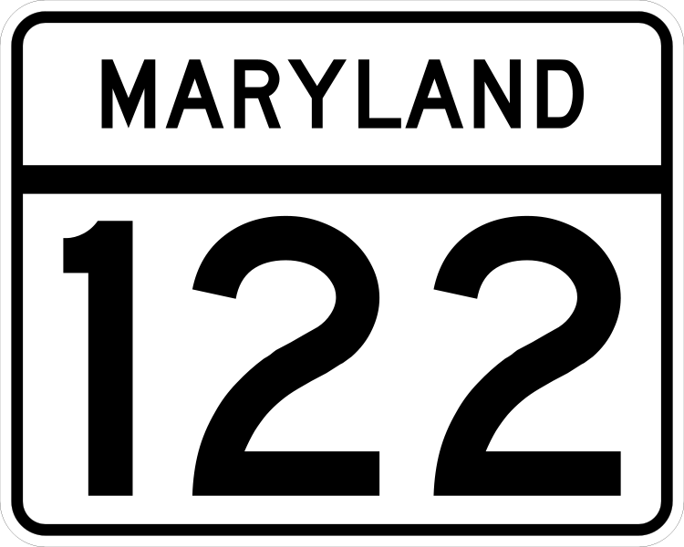
Fichier:MD Route 122.svg

Taille de cet aperçu PNG pour ce fichier SVG : 750 × 600 pixels. Autres résolutions : 300 × 240 pixels | 600 × 480 pixels | 960 × 768 pixels | 1 280 × 1 024 pixels | 2 560 × 2 048 pixels | 3 000 × 2 400 pixels.
Fichier d’origine (Fichier SVG, nominalement de 3 000 × 2 400 pixels, taille : 10 kio)
Historique du fichier
Cliquer sur une date et heure pour voir le fichier tel qu'il était à ce moment-là.
| Date et heure | Vignette | Dimensions | Utilisateur | Commentaire | |
|---|---|---|---|---|---|
| actuel | 25 mai 2006 à 03:48 |  | 3 000 × 2 400 (10 kio) | Jeff02 | A Maryland Route 122 route marker, own work. Made according to http://www.marylandroads.com/businesswithsha/bizstdsspecs/desmanualstdpub/publicationsonline/oots/pdf/M1-5.pdf using Inkscape. 122 |
Utilisation du fichier
Les 3 pages suivantes utilisent ce fichier :
Usage global du fichier
Les autres wikis suivants utilisent ce fichier :
- Utilisation sur en.wikipedia.org
- Baltimore County, Maryland
- Interstate 695 (Maryland)
- Maryland Route 122
- List of highways numbered 122
- Maryland Route 124
- User:Algorerhythms/MD Route Table
- User:Algorerhythms/MD Route Table split
- User:Algorerhythms/MD Interstate Table
- Maryland Route 121
- List of state highways in Maryland
- List of former Maryland state highways (2–199)
- User:Epzik8/sandbox
- Wikipedia:WikiProject U.S. Roads/Redirects/Maryland/100-199
- Utilisation sur es.wikipedia.org
- Utilisation sur nl.wikipedia.org
- Utilisation sur pam.wikipedia.org
- Utilisation sur ru.wikipedia.org
- Utilisation sur sv.wikipedia.org
- Utilisation sur vi.wikipedia.org
- Utilisation sur www.wikidata.org
- Utilisation sur zh-min-nan.wikipedia.org
