Fichier:Mamtor-valley.jpg
Taille de cet aperçu : 600 × 600 pixels. Autres résolutions : 240 × 240 pixels | 480 × 480 pixels | 1 000 × 1 000 pixels.
Fichier d’origine (1 000 × 1 000 pixels, taille du fichier : 180 kio, type MIME : image/jpeg)
Ce fichier et sa description proviennent de Wikimedia Commons.
| Description |
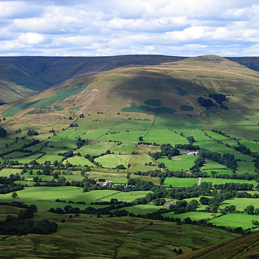
View down the valley from Mam Tor in the en:Peak District, UK. Twelve large en:limestone quarries operate in the Peak District Photographed by Bala Amavasai Camera: Canon A520 |
| Date | 10 août 2005 (date de téléversement originale) |
| Source | Originally from en.wikipedia; description page is/was here. |
| Auteur | Original téléversé par Bpa sur Wikipédia anglais. |
| Ce fichier est disponible selon les termes de la licence Creative Commons Attribution – Partage dans les Mêmes Conditions 3.0 (non transposée). Sujet aux avertissements. | ||
| ||
| Ce bandeau de licence a été ajouté à ce fichier dans le cadre de la procédure de mise à jour des licences des images sous GFDL. |

|
Vous avez la permission de copier, distribuer et modifier ce document selon les termes de la GNU Free Documentation License version 1.2 ou toute version ultérieure publiée par la Free Software Foundation, sans sections inaltérables, sans texte de première page de couverture et sans texte de dernière page de couverture. Un exemplaire de la licence est inclus dans la section intitulée GNU Free Documentation License. Sujet aux avertissements. |
(All user names refer to en.wikipedia)
- 2005-08-10 17:02 Bpa 1000×1000×8 (184106 bytes) View down the valley from Mam Tor
Historique du fichier
Cliquer sur une date et heure pour voir le fichier tel qu'il était à ce moment-là.
| Date et heure | Vignette | Dimensions | Utilisateur | Commentaire | |
|---|---|---|---|---|---|
| actuel | 14 juillet 2007 à 20:18 | | 1 000 × 1 000 (180 kio) | Finavon | {{Information |Description=View down the valley from Mam Tor in the Peak District, UK. Photographed by Bala Amavasai Camera: Canon A520 |Source=Originally from [http://en.wikipedia.org en.wikipedia]; description page is/was [http://en.wikipedia.org/w/ |
Utilisation du fichier
Les 3 pages suivantes utilisent ce fichier :
Usage global du fichier
Les autres wikis suivants utilisent ce fichier :
- Utilisation sur br.wikipedia.org
- Utilisation sur en.wikipedia.org
- Mam Tor
- Bocage
- The Roaches
- Hartington, Derbyshire
- Stanage Edge
- Kinder Scout
- Heights of Abraham
- Dovedale
- Bleaklow
- Black Hill (Peak District)
- Thorpe Cloud
- Lose Hill
- Shining Tor
- Win Hill
- User:Bpa
- Wolfscote Hill
- Axe Edge Moor
- Crook Hill
- Parkhouse Hill
- Alport Height
- Chrome Hill
- Derwent Edge
- Shutlingsloe
- Minninglow
- Margery Hill
- Stanton Moor
- Gun (Staffordshire)
- Eldon Hill
- The Cloud (hill)
- Higger Tor
- Rushup Edge
- Tegg's Nose
- Template:Peaks of the Peak District
- High Stones
- High Wheeldon
- Wetton, Staffordshire
- Grindslow Knoll
- Croker Hill
- Eccles Pike
- Brown Knoll
- Featherbed Moss
- Featherbed Top
- Mill Hill (Derbyshire)
- Britland Edge Hill
- Lost Lad
- Oliver Hill (Peak District)
- Black Edge
- Combs Moss
- Grin Low
Voir davantage sur l’utilisation globale de ce fichier.