Fichier:NelsonIslandBritishColumbia.png

Taille de cet aperçu : 633 × 599 pixels. Autres résolutions : 253 × 240 pixels | 507 × 480 pixels | 699 × 662 pixels.
Fichier d’origine (699 × 662 pixels, taille du fichier : 827 kio, type MIME : image/png)
Ce fichier et sa description proviennent de Wikimedia Commons.
Description
| Description |
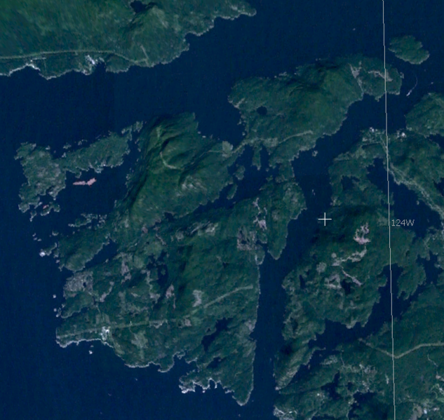
English: Satellite imagery of Nelson Island, British Columbia, Canada |
| Date | |
| Source | Screen Shot taken from World Wind |
| Auteur | NASA |
Conditions d’utilisation
| Cette image est dans le domaine public car elle est constituée d'une capture d'écran du logiciel World Wind de la NASA qui utilise des données du domaine public, comme Blue Marble, MODIS, Landsat, SRTM, USGS ou GLOBE.
|
 |
Historique du fichier
Cliquer sur une date et heure pour voir le fichier tel qu'il était à ce moment-là.
| Date et heure | Vignette | Dimensions | Utilisateur | Commentaire | |
|---|---|---|---|---|---|
| actuel | 1 octobre 2020 à 12:48 | | 699 × 662 (827 kio) | Ponderosapine210 | Adjusted image curve. |
| 19 mai 2009 à 11:16 |  | 699 × 662 (770 kio) | MADaboutforests | {{Information |Description={{en|1=Satellite imagery of Nelson Island, British Columbia, Canada}} |Source=Screen Shot taken from World Wind |Author=NASA |Date=2009 |Permission= |other_versions= }} <!--{{ImageUpload|full}}--> [[Category:Satellite pictures] |
Utilisation du fichier
La page suivante utilise ce fichier :
Usage global du fichier
Les autres wikis suivants utilisent ce fichier :
- Utilisation sur ceb.wikipedia.org
- Utilisation sur en.wikipedia.org
- Utilisation sur www.wikidata.org