Fichier:Ontario 137.svg

Taille de cet aperçu PNG pour ce fichier SVG : 377 × 599 pixels. Autres résolutions : 151 × 240 pixels | 302 × 480 pixels | 483 × 768 pixels | 644 × 1 024 pixels | 1 288 × 2 048 pixels | 458 × 728 pixels.
Fichier d’origine (Fichier SVG, nominalement de 458 × 728 pixels, taille : 97 kio)
Ce fichier et sa description proviennent de Wikimedia Commons.
| This Canadian work is in the public domain worldwide because it was subject to Crown copyright and was first published before December 31, 1973.
According to Public Works and Government Services Canada / Travaux publics et Services gouvernementaux Canada, Canada has no intention of renewing expired Crown Copyright works in any country, and consequently the URAA does not apply. An email is on record at ticket:2013122310013986. |
 | |
|
| ||
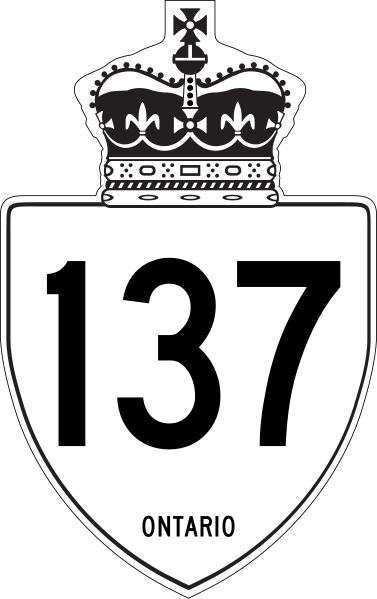
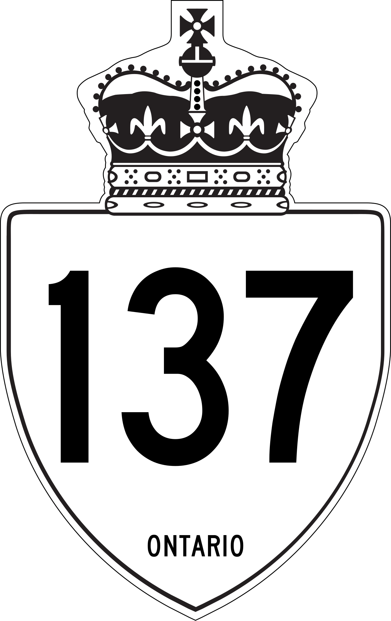
This is a rough approximation of the marker used on King's Highways in Ontario, modified from Image:Ontario Junction template.svg.
Historique du fichier
Cliquer sur une date et heure pour voir le fichier tel qu'il était à ce moment-là.
| Date et heure | Vignette | Dimensions | Utilisateur | Commentaire | |
|---|---|---|---|---|---|
| actuel | 27 avril 2019 à 20:03 | | 458 × 728 (97 kio) | Fredddie | redrawn |
| 1 février 2010 à 22:21 |  | 210 × 340 (104 kio) | Floydian | update to newer version, old version moved to File:Ontario 137 jct.svg | |
| 10 septembre 2007 à 22:39 |  | 289 × 289 (7 kio) | NE2 | {{PD-ineligible}} This is a rough approximation of the marker used on King's Highways in Ontario, modified from Image:Ontario Junction template.svg. 137 |
Utilisation du fichier
Les 6 pages suivantes utilisent ce fichier :
Usage global du fichier
Les autres wikis suivants utilisent ce fichier :
- Utilisation sur de.wikipedia.org
- Utilisation sur en.wikipedia.org
- Ontario Highway 138
- Ontario Highway 137
- List of crossings of the St. Lawrence River and the Great Lakes
- List of highways numbered 137
- Ontario Highway 132
- List of Ontario provincial highways
- Ontario Highway 136
- National Highway System (Canada)
- User:Floydian/To do
- User:Tcer99/sandbox/ONRoads/List of numbered roads in Leeds and Grenville United Counties
- Utilisation sur en.wikivoyage.org
- Utilisation sur es.wikipedia.org
- Utilisation sur it.wikipedia.org
- Utilisation sur nl.wikipedia.org
- Utilisation sur pt.wikipedia.org
- Utilisation sur ru.wikipedia.org
- Utilisation sur simple.wikipedia.org
- Utilisation sur sv.wikipedia.org
- Utilisation sur vi.wikipedia.org
- Utilisation sur zh.wikipedia.org