Fichier:Padre Island National Seashore - NPS map.jpg
Taille de cet aperçu : 592 × 599 pixels. Autres résolutions : 237 × 240 pixels | 474 × 480 pixels | 737 × 746 pixels.
Fichier d’origine (737 × 746 pixels, taille du fichier : 60 kio, type MIME : image/jpeg)
Ce fichier et sa description proviennent de Wikimedia Commons.
| Description |
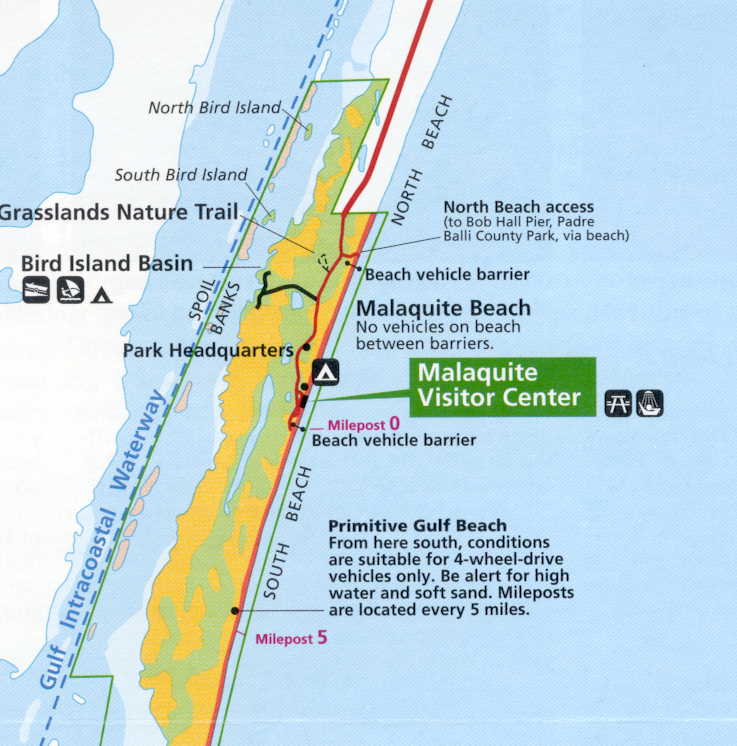
Photos and maps related to Padre Island. Padre Island National Seashore - NPS map |
| Date | |
| Source | United States Government (USGS, Dept of Ag, NOAA, NPS, FAA) |
| Auteur | uploaded by Johntex |
| Autorisation (Réutilisation de ce fichier) |
Original work of the US Federal Government - public domain |
Cette image est dans le domaine public car son contenu provient de la
National Oceanic and Atmospheric Administration , réalisé par un employé dans le cadre de ses activités professionnelles.
|
Historique du fichier
Cliquer sur une date et heure pour voir le fichier tel qu'il était à ce moment-là.
| Date et heure | Vignette | Dimensions | Utilisateur | Commentaire | |
|---|---|---|---|---|---|
| actuel | 26 juin 2006 à 08:12 | | 737 × 746 (60 kio) | Johntex~commonswiki | {{Information| |Description=Photos and maps related to Padre Island. Padre Island National Seashore - NPS map |Source=United States Government (USGS, Dept of Ag, NOAA, NPS, FAA) |Date=2006-06-26 |Author=uploaded by Johntex |Permission |
Utilisation du fichier
La page suivante utilise ce fichier :
Usage global du fichier
Les autres wikis suivants utilisent ce fichier :
- Utilisation sur www.wikidata.org