
Fichier:Punjab locator map.svg

Ce fichier et sa description proviennent de Wikimedia Commons.


| Titre |
Punjab locator map |
||
| Description | |||
| Date | |||
| Source |
Travail personnel |
||
| Créé par |
|
||
| Autorisation (Réutilisation de ce fichier) |
Moi, en tant que détenteur des droits d’auteur sur cette œuvre, je la publie sous la licence suivante :    Ce fichier est disponible selon les termes de la licence Creative Commons Attribution – Partage dans les Mêmes Conditions 3.0 Non Transposé.
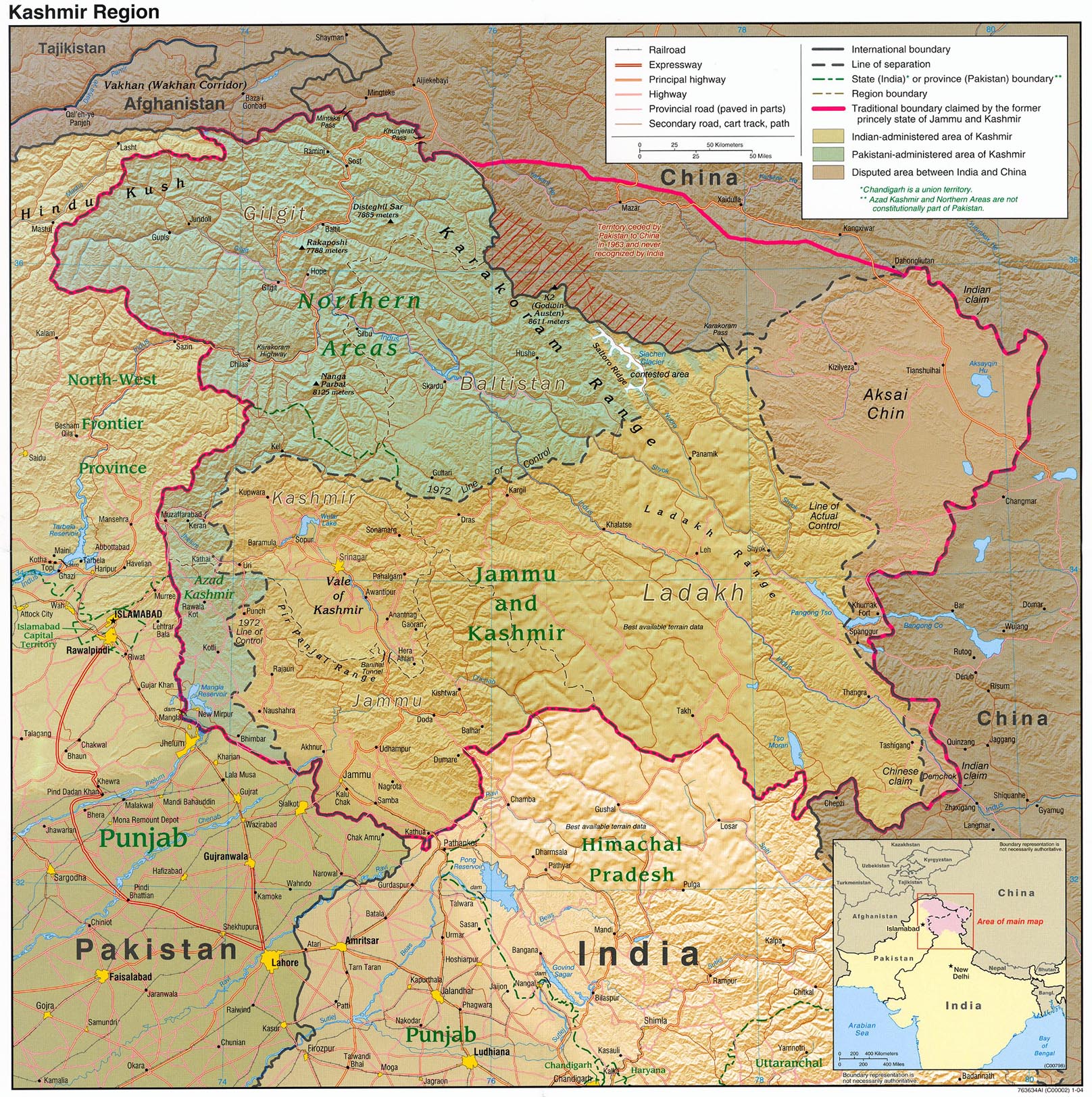
 The frontiers depicted on the Indian maps in Wikipedia are from a neutral point of view and may differ from official government maps of India, Pakistan and China. Please consult local laws governing publication of maps before usage. |
||
| Données géotemporelles | |||
| Date représentée | 2e moitié de XXe siècle et XXIe siècle | ||
| Géoréférencement | Si c'est inapproprié, définissez warp_status = skip pour masquer. | ||
| Données d'archives | |||
| Notes | Part of WikiProject India Maps | ||
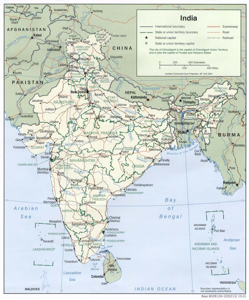
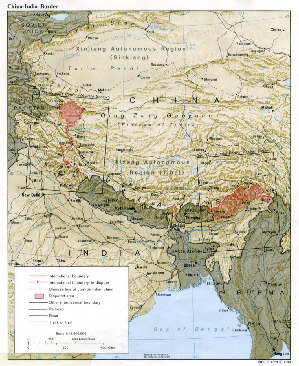
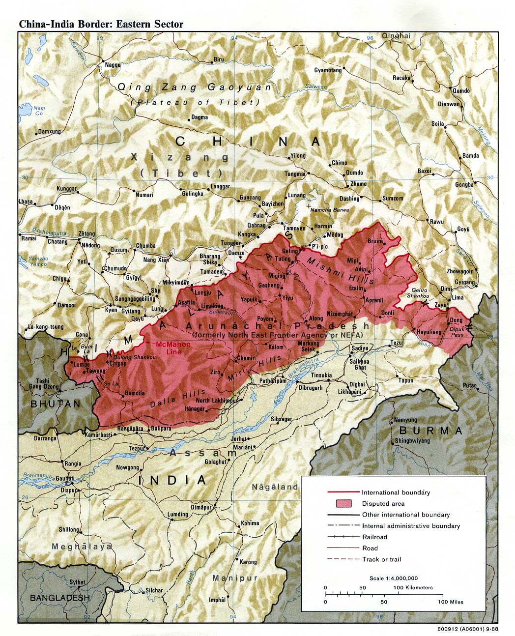
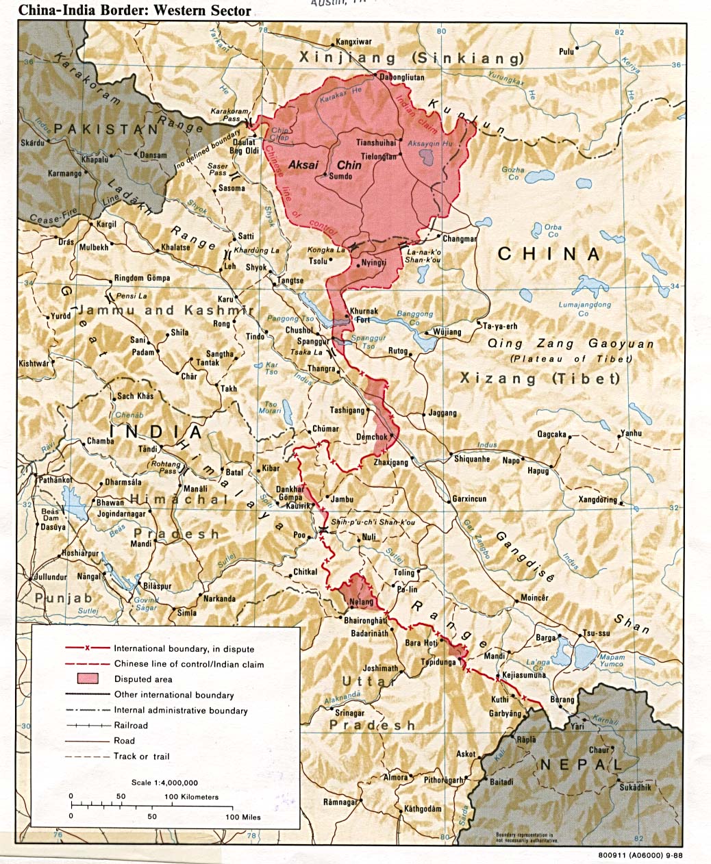


derivative works
Œuvres dérivées de ce fichier : Districts of Punjab, India.svg

Historique du fichier
Cliquer sur une date et heure pour voir le fichier tel qu'il était à ce moment-là.
| Date et heure | Vignette | Dimensions | Utilisateur | Commentaire | |
|---|---|---|---|---|---|
| actuel | 25 avril 2007 à 19:27 | | 955 × 1 029 (174 kio) | Planemad | reupload, forgot crop |
| 25 avril 2007 à 19:25 |  | 2 393 × 1 956 (188 kio) | Planemad | {{WikiProject_India_Maps |Title=Punjab locator map |Description=Locator map of the state of w:Punjab, India with district boundaries, major highways, railways and water bodies. |Source=[www.punjabtourism.org/tt_maps.php Punjab Tourism - Ma |

Utilisation du fichier
La page suivante utilise ce fichier :
Usage global du fichier
Les autres wikis suivants utilisent ce fichier :
- Utilisation sur ar.wikipedia.org
- Utilisation sur ast.wikipedia.org
- Utilisation sur as.wikipedia.org
- Utilisation sur awa.wikipedia.org
- Utilisation sur bh.wikipedia.org
- Utilisation sur bn.wikipedia.org
- Utilisation sur ca.wikipedia.org
- Utilisation sur ceb.wikipedia.org
- Utilisation sur ckb.wikipedia.org
- Utilisation sur de.wikipedia.org
- Utilisation sur dty.wikipedia.org
- Utilisation sur el.wikipedia.org
- Utilisation sur eo.wikipedia.org
- Utilisation sur es.wikipedia.org
- Utilisation sur eu.wikipedia.org
- Utilisation sur fa.wikipedia.org
- Utilisation sur hi.wikipedia.org
- फिल्लौर
- साँचा:पंजाब के लोकसभा निर्वाचन क्षेत्र
- संगरूर लोक सभा निर्वाचन क्षेत्र
- अमृतसर लोक सभा निर्वाचन क्षेत्र
- भटिंडा लोक सभा निर्वाचन क्षेत्र
- फरीदकोट लोक सभा निर्वाचन क्षेत्र
- फतेहगढ़ साहिब लोक सभा निर्वाचन क्षेत्र
- आनंदपुर साहिब लोक सभा निर्वाचन क्षेत्र
- फिरोजपुर लोक सभा निर्वाचन क्षेत्र
- गुरदासपुर लोक सभा निर्वाचन क्षेत्र
- होशियारपुर लोक सभा निर्वाचन क्षेत्र
- जलंधर लोक सभा निर्वाचन क्षेत्र
- खडूर साहिब लोक सभा निर्वाचन क्षेत्र
- लुधियाना लोक सभा निर्वाचन क्षेत्र
- पटियाला लोक सभा निर्वाचन क्षेत्र
- थरियाल
- माधोपुर, पंजाब
- Utilisation sur hu.wikipedia.org
- Utilisation sur hy.wikipedia.org
- Utilisation sur id.wikipedia.org
- Utilisation sur ja.wikipedia.org
- Utilisation sur kge.wikipedia.org
- Utilisation sur kn.wikipedia.org
- Utilisation sur ks.wikipedia.org
- Utilisation sur mai.wikipedia.org
- Utilisation sur mg.wikipedia.org
- Utilisation sur min.wikipedia.org
- Utilisation sur ml.wikipedia.org
Voir davantage sur l’utilisation globale de ce fichier.

