Fichier:Sea of Marmara map--01.png
Taille de cet aperçu : 800 × 448 pixels. Autres résolutions : 320 × 179 pixels | 640 × 358 pixels | 1 336 × 748 pixels.
Fichier d’origine (1 336 × 748 pixels, taille du fichier : 598 kio, type MIME : image/png)
Ce fichier et sa description proviennent de Wikimedia Commons.
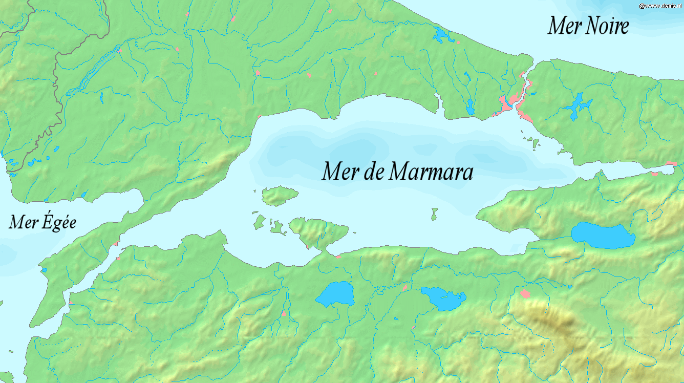
| Description | Sea of Marmara (with sea names added to the orignal image) |
| Source | Wikimedia |
| Auteur | Jjackoti |
| Autres versions | Sea_of_Marmama_map.png |
This image is derived from Image:Sea of Marmara map.png.
This image is in the public domain because it came from the site https://www.demis.nl/products/web-map-server/examples/ and was released by the copyright holder. Permission is granted to copy, distribute and/or modify this map since it is based on free of copyright images from: www.demis.nl. See also approval email on de.wp and its clarification.
|
| This work has been released into the public domain by its copyright holder, www.demis.nl. This applies worldwide. Dans certains pays, ceci peut ne pas être possible ; dans ce cas : www.demis.nl accorde à toute personne le droit d’utiliser cette œuvre dans n’importe quel but, sans aucune condition, sauf celles requises par la loi.
|
Historique du fichier
Cliquer sur une date et heure pour voir le fichier tel qu'il était à ce moment-là.
| Date et heure | Vignette | Dimensions | Utilisateur | Commentaire | |
|---|---|---|---|---|---|
| actuel | 24 février 2008 à 23:41 | | 1 336 × 748 (598 kio) | Jjackoti | {{Information |Description=Sea of Marmara (with sea names added to the orignal image) |Source=Wikimedia |Date= |Author=Jjackoti |Permission= |other_versions=Sea_of_Marmama_map.png }} |
Utilisation du fichier
Les 3 pages suivantes utilisent ce fichier :
Usage global du fichier
Les autres wikis suivants utilisent ce fichier :
- Utilisation sur es.wikipedia.org
- Utilisation sur fr.wiktionary.org
- Utilisation sur it.wikipedia.org