Fichier:Skye map.PNG
Pas de plus haute résolution disponible.
Skye_map.PNG (433 × 427 pixels, taille du fichier : 22 kio, type MIME : image/png)
Ce fichier et sa description proviennent de Wikimedia Commons.

|
Cette image (de type locator map) devrait être recréée dans un format vectoriel, en tant que fichier SVG. Cela offrirait plusieurs avantages : voir Commons:Media for cleanup pour plus d'informations. Si une version SVG de cette image est déjà disponible, merci de bien vouloir l'envoyer. Après cela, remplacez ce modèle par {{vector version available|nouveau nom d'image.svg}}.
|
| Description | |||||||||
| Date | |||||||||
| Source | Travail personnel | ||||||||
| Auteur | Ruhrfisch | ||||||||
| Autorisation (Réutilisation de ce fichier) |
Moi, en tant que détenteur des droits d’auteur sur cette œuvre, je la publie sous la licence suivante :
|
||||||||
| Autres versions |
 |

Historique du fichier
Cliquer sur une date et heure pour voir le fichier tel qu'il était à ce moment-là.
| Date et heure | Vignette | Dimensions | Utilisateur | Commentaire | |
|---|---|---|---|---|---|
| actuel | 12 janvier 2013 à 20:31 | | 433 × 427 (22 kio) | Ruhrfisch | Try this again - add Skye Bridge to map |
| 12 janvier 2013 à 20:25 |  | 433 × 427 (22 kio) | Ruhrfisch | Add Skye Bridge and label per FAC, no other changes | |
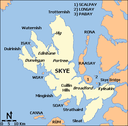
| 23 juin 2008 à 22:57 |  | 433 × 427 (18 kio) | Ruhrfisch | {{Information |Description={{en|1=Map of the Isle of Skye and surroundings, based on a public domain original map, generated at [http://www.aquarius.geomar.de/omc/make_map.html OMC]. }} |Source=Own work by uploader |Author=[[User:Ruhrfisch|Ru |
Utilisation du fichier
La page suivante utilise ce fichier :
Usage global du fichier
Les autres wikis suivants utilisent ce fichier :
- Utilisation sur br.wikipedia.org
- Utilisation sur de.wikipedia.org
- Utilisation sur de.wikivoyage.org
- Utilisation sur en.wikipedia.org
- Utilisation sur it.wikivoyage.org
- Utilisation sur simple.wikipedia.org