Fichier:United Kingdom relief location map.png
Taille de cet aperçu : 388 × 600 pixels. Autres résolutions : 155 × 240 pixels | 310 × 480 pixels | 497 × 768 pixels | 662 × 1 024 pixels | 1 500 × 2 318 pixels.
Fichier d’origine (1 500 × 2 318 pixels, taille du fichier : 2,76 Mio, type MIME : image/png)
Ce fichier et sa description proviennent de Wikimedia Commons.
| Description |
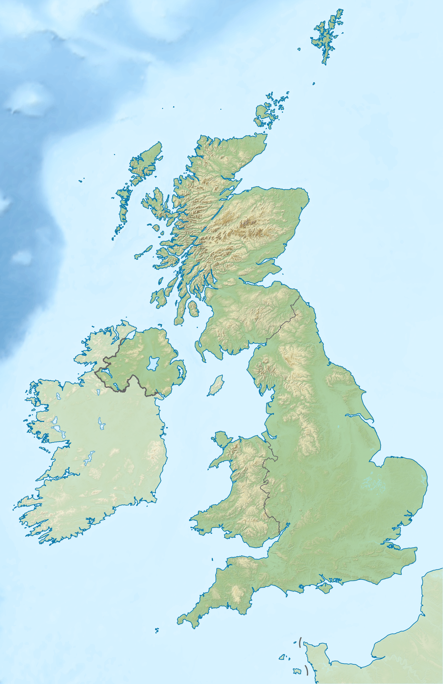
Relief map of the United Kingdom Equirectangular map projection on WGS 84 datum, with N/S stretched 170% Geographic limits:
|
| Date | |
| Source |
Shuttle Radar Topography Mission
National Geospatial-Intelligence Agency
|
| Auteur | Nilfanion |
| Autorisation (Réutilisation de ce fichier) |
Ce fichier est disponible selon les termes de la licence Creative Commons Attribution – Partage dans les Mêmes Conditions 3.0 (non transposée). Attribution: Contains Ordnance Survey data © Crown copyright and database right 2012
|
| Autres versions | Œuvres dérivées de ce fichier : 2012 Summer Olympics torch relay map.svg |
Historique du fichier
Cliquer sur une date et heure pour voir le fichier tel qu'il était à ce moment-là.
| Date et heure | Vignette | Dimensions | Utilisateur | Commentaire | |
|---|---|---|---|---|---|
| actuel | 16 avril 2012 à 00:39 | | 1 500 × 2 318 (2,76 Mio) | Nilfanion | {{Information |Description=Relief map of the United Kingdom Equirectangular map projection on WGS 84 datum, with N/S stretched 170% Geographic limits: *West: 11.0° W *East: 2.2° E *North: 61.0° N *South: 49.0° N |Source=[[w:O... |
Utilisation du fichier
La page suivante utilise ce fichier :
Usage global du fichier
Les autres wikis suivants utilisent ce fichier :
- Utilisation sur no.wikipedia.org
- Utilisation sur vec.wikipedia.org